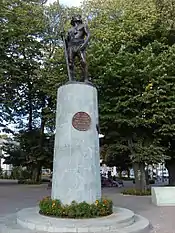
Lautaro, Chile
Lautaro is a city and commune of the Cautín Province in Chile's Araucanía Region. The area is named in honor of Lautaro, Mapuche leader (toqui) during the War of Arauco.
Lautaro | |
|---|---|
 | |
 Coat of arms 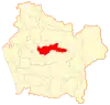 Location in the Araucanía Region 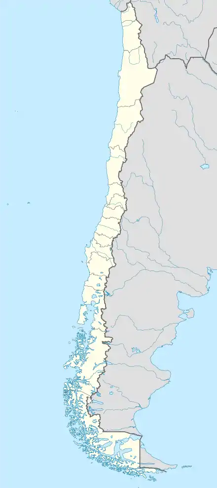 Lautaro Location in Chile | |
| Coordinates: 38°31′S 72°27′W | |
| Country | Chile |
| Region | Araucanía |
| Province | Cautín |
| Founded | 1881 |
| Named for | Lautaro |
| Government | |
| • Type | Municipality |
| • Alcalde | Renato Hauri |
| Area | |
| • Total | 901.1 km2 (347.9 sq mi) |
| Elevation | 234 m (768 ft) |
| Population (2012 Census)[2] | |
| • Total | 34,268 |
| • Density | 38/km2 (98/sq mi) |
| • Urban | 21,071 |
| • Rural | 11,147 |
| Sex | |
| • Men | 15,991 |
| • Women | 16,227 |
| Time zone | UTC−4 (CLT) |
| • Summer (DST) | UTC−3 (CLST) |
| Area code(s) | 56 + 45 |
| Website | Official website (in Spanish) |
Demographics
According to the 2002 census of the National Statistics Institute, Lautaro spans an area of 901.1 km2 (348 sq mi) and has 32,218 inhabitants (15,991 men and 16,227 women). Of these, 21,071 (65.4%) lived in urban areas and 11,147 (34.6%) in rural areas. Between the 1992 and 2002 censuses, the population grew by 12.2% (3,493 persons).[2]
Administration
As a commune, Lautaro is a third-level administrative division of Chile administered by a communal council headed by an alcalde who is directly elected every four years. For the years 2008-2012, the alcalde is Renato Hauri, and the council members are:[1]
- Raul Schifferli Diaz
- Miguel Jaramillo Salazar
- Carlos Gutierrez Olguin
- Ricardo Candia Morales
- Cristian Herrera González
- Hugo Salazar Becerra
Within the electoral divisions of Chile, Lautaro belongs to the 49th electoral district and 14th senatorial constituency.
References
- "Municipality of Lautaro" (in Spanish). Retrieved 27 July 2010.
- "National Statistics Institute" (in Spanish). Retrieved 27 July 2010.
