Lawen, Oregon
Lawen is an unincorporated community in Harney County, Oregon, United States.[1] Although it is unincorporated, it has a post office with a ZIP code of 97720.[2] Lawen lies along Oregon Route 78 just south of its interchanges with Oregon Route 205, U.S. Route 20, and U.S. Route 395 in Burns, the county seat. Lawen is just north of the East Fork Silvies River and Malheur Lake.[3]
Lawen, Oregon | |
|---|---|
 Lawen  Lawen | |
| Coordinates: 43°26′35″N 118°48′04″W | |
| Country | United States |
| State | Oregon |
| County | Harney |
| Elevation | 4,108 ft (1,252 m) |
| Time zone | UTC-8 (PST) |
| • Summer (DST) | UTC-7 (PDT) |
| ZIP codes | 97720 |
| Area code(s) | 541 |
| Coordinates and elevation from United States Geological Survey[1] | |
Climate
According to the Köppen Climate Classification system, Lawen has a semi-arid climate, abbreviated "BSk" on climate maps.[4]
References
- "Lawen". Geographic Names Information System. United States Geological Survey. November 28, 1980. Retrieved January 3, 2016.
- "Lawen, Oregon". CD Light. 2014. Retrieved January 3, 2016.
- "United States Topographic Map". United States Geological Survey. Retrieved January 3, 2016 – via Acme Mapper.
- "Lawen, Oregon". Weatherbase. CantyMedia. Retrieved January 3, 2016.
Municipalities and communities of Harney County, Oregon, United States | ||
|---|---|---|
| Cities | 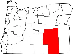 Harney County map | |
| CDP | ||
| Other unincorporated communities | ||
| Indian reservation | ||
| Ghost towns | ||
| Desert | ||
| ||
This article is issued from Wikipedia. The text is licensed under Creative Commons - Attribution - Sharealike. Additional terms may apply for the media files.
