Lawra District
The Lawra District is one of the eleven districts in the Upper West Region of north Ghana. Its capital is Lawra.
Lawra Municipal | |
|---|---|
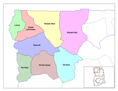 Districts of Upper West region | |
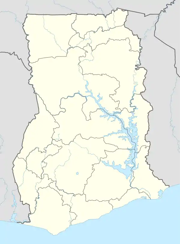 Lawra Municipal Lawra District in Upper West region | |
| Coordinates: 10°30′N 2°35′W | |
| Region | Upper West Region |
| Capital | Lawra |
| Government | |
| • District executive | George Yasaame Sulley |
| Area | |
| • Total | 509 km2 (197 sq mi) |
| Population (2013) | |
| • Total | — |
| Time zone | UTC+0 (Greenwich Mean Time) |
| • Summer (DST) | GMT |
| ISO 3166 code | GH-UW-LA |
Governance
Lawra District is one of the eleven Districts that make up the Upper West Region and derives its legal existence from Legislative Instrument (L.I) 1434 of 1988.
Geography and climate
Geography
Lawra District lies in the North Western corner of the Upper West Region between Longitudes 2°25"W and 2°45"W and Latitudes 10°20"N and 11°00"N.
It is bounded to the East and South by the Jirapa/Lambussie District and Lambussie-Karni District. The total area of the District as at 2014 (GSS, 2012) is estimated to be 483.6 square kilometres. This constitutes about 2.6% of the Region's total area, which is estimated at 18,476 square kilometres. This follows the splitting of Nandom in 2012 as its own district.
Sources
- "Districts of Ghana". Statoids.
- GhanaDistricts.com
| Municipal |
| .svg.png.webp) |
|---|---|---|
| District |
| |