Liddington
Liddington is a village and civil parish near Swindon in Wiltshire, England. The settlement lies southeast of Swindon town, close to junction 15 of the M4 motorway, which is approximately 2 miles (3.2 km) away via the B4192.
| Liddington | |
|---|---|
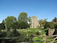 All Saints' churchyard | |
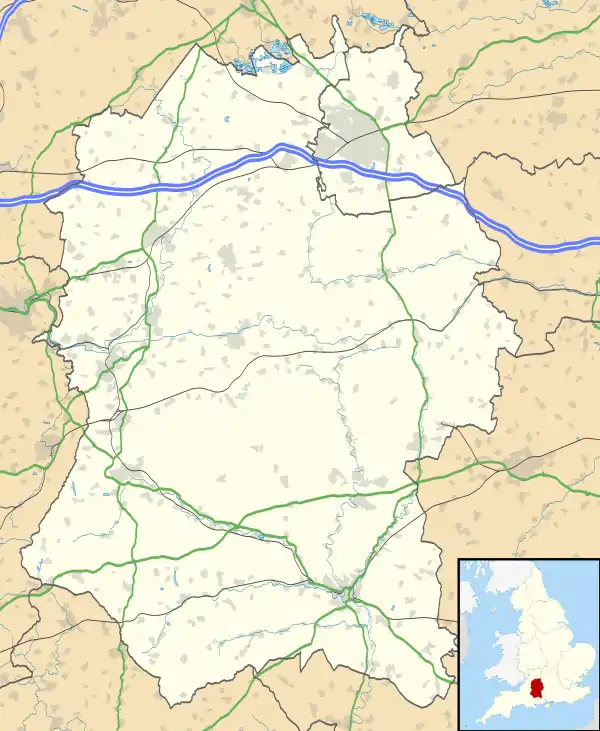 Liddington Location within Wiltshire | |
| Population | 376 (in 2011)[1] |
| OS grid reference | SU207815 |
| Civil parish |
|
| Unitary authority | |
| Ceremonial county | |
| Region | |
| Country | England |
| Sovereign state | United Kingdom |
| Post town | Swindon |
| Postcode district | SN4 |
| Dialling code | 01793 |
| Police | Wiltshire |
| Fire | Dorset and Wiltshire |
| Ambulance | South Western |
| UK Parliament | |
| Website | Parish Council |
The parish has been an area of settlement since the earliest times. The ancient Ridgeway traverses the parish just north of the village and the Iron Age hill-fort known as Liddington Castle overlooks the present-day village. Liddington is recorded in the late Saxon period, around 940 AD. The Domesday Book of 1086 refers to the settlement as Ledentone. Records indicate that Liddington was a fairly prosperous parish in the 14th century. The population of the parish peaked at 454 in 1841 and then gradually declined.[1]
'Starfish' decoy control bunker
Liddington Hill is the site of a control bunker for a World War II 'Starfish' bombing decoy site. This would have been used to control fires, which would have acted as a decoy to enemy planes targeting the town of Swindon to the north.
The bunker had a hatch in its concrete roof and consisted of two rooms off a central passage; the room on the right housed generators, while the control room was on the left.
References
- "Wiltshire Community History - Census". Wiltshire Council. Retrieved 15 August 2015.
