Linga, Yell Sound
Linga is one of the Shetland Islands, in Yell Sound.
| Old Norse name | lyngey |
|---|---|
| Meaning of name | heather island |
North end of Linga | |
| Location | |
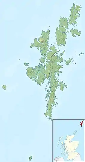 Linga Linga shown within Shetland | |
| OS grid reference | HU466733 |
| Coordinates | 60.44°N 1.15°W |
| Physical geography | |
| Island group | Shetland |
| Area | 38 ha[1] |
| Highest elevation | 40 m (131 ft) |
| Administration | |
| Sovereign state | United Kingdom |
| Country | Scotland |
| Council area | Shetland Islands |
| Demographics | |
| Population | 0[2] |
| References | [3][4] |
Geography and geology
Linga is an extremely common name in Shetland, meaning heather island. This Linga is not far from Firth and Firths Voe, in the West. Fish Holm is to the North and Lunna Ness to the east.
Linga is made of coarse gneiss, with some granite.[3] It is about 43 ha in area and 40m at its highest point.
Footnotes
- Rick Livingstone’s Tables of the Islands of Scotland (pdf) Argyll Yacht Charters. Retrieved 12 Dec 2011.
- National Records of Scotland (15 August 2013). "Appendix 2: Population and households on Scotland's Inhabited Islands" (PDF). Statistical Bulletin: 2011 Census: First Results on Population and Household Estimates for Scotland Release 1C (Part Two) (PDF) (Report). SG/2013/126. Retrieved 14 August 2020.
- Haswell-Smith, Hamish (2004). The Scottish Islands. Edinburgh: Canongate. ISBN 978-1-84195-454-7.
- Ordnance Survey. OS Maps Online (Map). 1:25,000. Leisure.
| Inhabited islands | ||
|---|---|---|
| Other islands | ||
| Towns and villages | ||
| Mainland Parishes | ||
| Insular Parishes | ||
| Maritime features | ||
Extreme points
| ||
| Topics | ||
This article is issued from Wikipedia. The text is licensed under Creative Commons - Attribution - Sharealike. Additional terms may apply for the media files.
