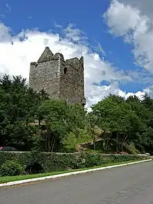
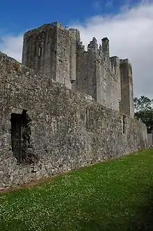
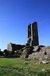
List of National Monuments in County Cork
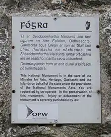
The Irish state has officially approved the following List of National Monuments in County Cork. In the Republic of Ireland, a structure or site may be deemed to be a "National Monument", and therefore worthy of state protection, if it is of national importance. If the land adjoining the monument is essential to protect it, this land may also be protected.
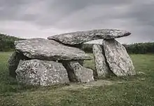
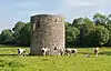
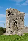
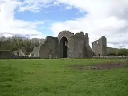
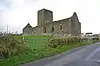
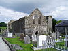
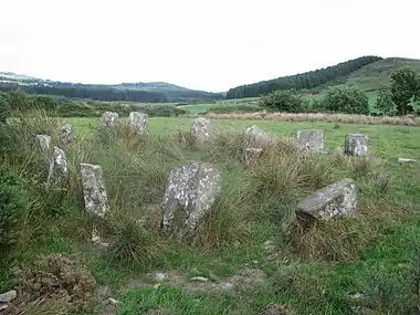
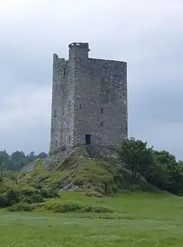
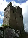
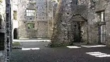
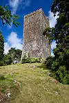
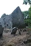
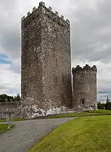
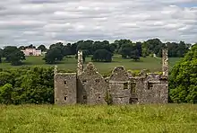
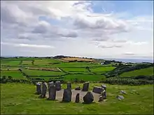
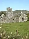
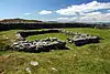
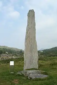
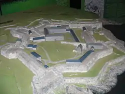
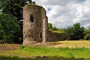
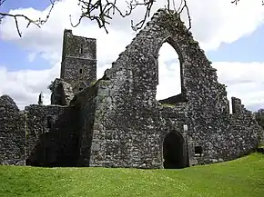
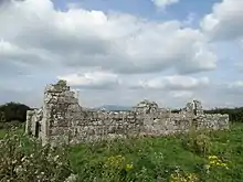
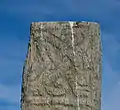
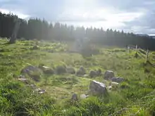
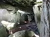
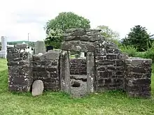
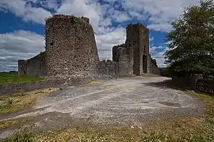
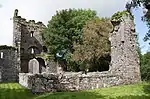
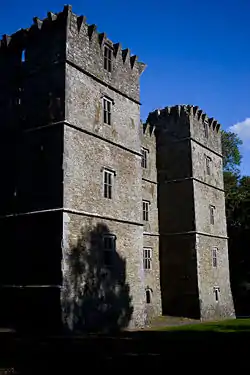
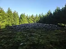
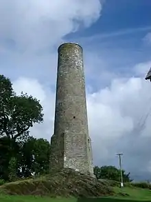
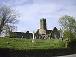
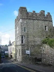
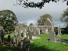
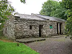
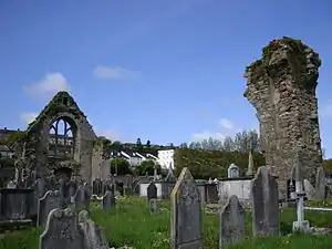
National Monuments

References
- Power, Denis, ed. (1994). Volume 2: East and South Cork. Archaeological Inventory of County Cork. Stationery Office. pp. 239–240. ISBN 0-7076-0323-4.
This article is issued from Wikipedia. The text is licensed under Creative Commons - Attribution - Sharealike. Additional terms may apply for the media files.