List of land districts of British Columbia
This is a list of land districts of British Columbia, Canada. Land districts are the cadastral system underlying land titles in the province, and used by the provincial gazetteer in descriptions of landforms, administrative areas, and other information. Those on Vancouver Island were established via a Lands Act of the government of the Colony of Vancouver Island, from 1843 onwards; those on the Mainland were established by the Lands Act of 1860 by the Colony of British Columbia.[1]
Note: Coordinates given are only the centre points of the land districts, as a rough guide to their locations.
See also
Notes
To see land district boundaries online, consult the province's Online Cadastre System.[2]
References
- https://ltsa.ca/docs/Land-Title-District-Maps.pdf
- British Columbia Online Cadastre Archived 2009-12-08 at the Wayback Machine To use this system to view land district boundaries, pan or zoom to the approximate location, or use [Find Location] tab to pick a land district by name. Open [Layers] tab along dark blue navigation bar, then open the "Administrative Boundaries" folder and select "Land Districts (outlined)", also click "pointer" (will highlight turquoise). To substantially speed up refresh time, deselect survey parcels, cadastral fabric (etc) that might be part of the default suite; to remove the map grid, open the "Base Map" folder and deselect "Grids". Whenever you make a change to the base, scroll to bottom of folders list and [Refresh Map] or select [Automatically Refresh Map]
| Subdivisions | 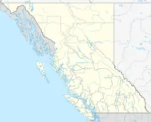 | |
|---|---|---|
| Communities | ||
| Metro areas and agglomerations | ||
| ||
This article is issued from Wikipedia. The text is licensed under Creative Commons - Attribution - Sharealike. Additional terms may apply for the media files.