Liuta
Liuta, also Ljuta (Ukrainian and Rusyn: Люта; Hungarian: Havasköz) is a small village located in the Velykyi Bereznyi Raion of Zakarpattia Oblast of Ukraine.
Liuta
Люта Havasköz | |
|---|---|
 Coat of arms | |
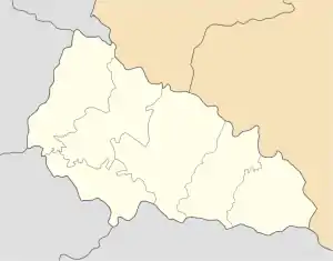
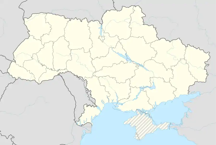
 Liuta Location of Liuta in Zakarpattia Oblast  Liuta Location of Liuta in Ukraine | |
| Coordinates: 48°54′0″N 22°46′0″E | |
| Country | |
| Oblast | |
| Raion | Velykyi Bereznyi Raion |
| Elevation | 540 m (1,770 ft) |
| Population | |
| • Total | 2,412 |
| Time zone | UTC+2 (EET) |
| • Summer (DST) | UTC+3 (EET) |
Lyuta lies at the foot of the Carpathian Mountains, about 25 miles (40 km) northeast of Uzhhorod and 362 miles (583 km) West-SouthWest of Kiev. It is on the bank of the Liutianka River. The name of the village means snowyside/snowycorner because of the cold winters in the area. Its history dates back to 1599. The estimated population is under 4000 people.
See also
External links
- MultiMap (Current) http://uk2.multimap.com/M4/browse.cgi?scale=100000&lon=22.7667&lat=48.9000&icon=X%5B%5D
- Detailed map (1910 Ung) http://lazarus.elte.hu/hun/tantort/2003/palyazat/40-49_ungvar.jpg
- Further information http://www.fallingrain.com/world/UP/0/Lyuta.html
This article is issued from Wikipedia. The text is licensed under Creative Commons - Attribution - Sharealike. Additional terms may apply for the media files.