Logiya River
The Logiya, or Logia, is a river of east-central Ethiopia, a left tributary of the Awash River.
| Logiya River | |
|---|---|
 | |
| Location | |
| Country | Ethiopia |
| Physical characteristics | |
| Source | |
| • elevation | 3,426 metres (11,240 ft) |
| Mouth | Awash River |
• location | Gurimu Dalena Gayidaro |
• coordinates | 11.7195°N 40.9993°E |
• elevation | 379 metres (1,243 ft) |
| Basin size | 3,151.86 square kilometres (1,216.94 sq mi) |
Course
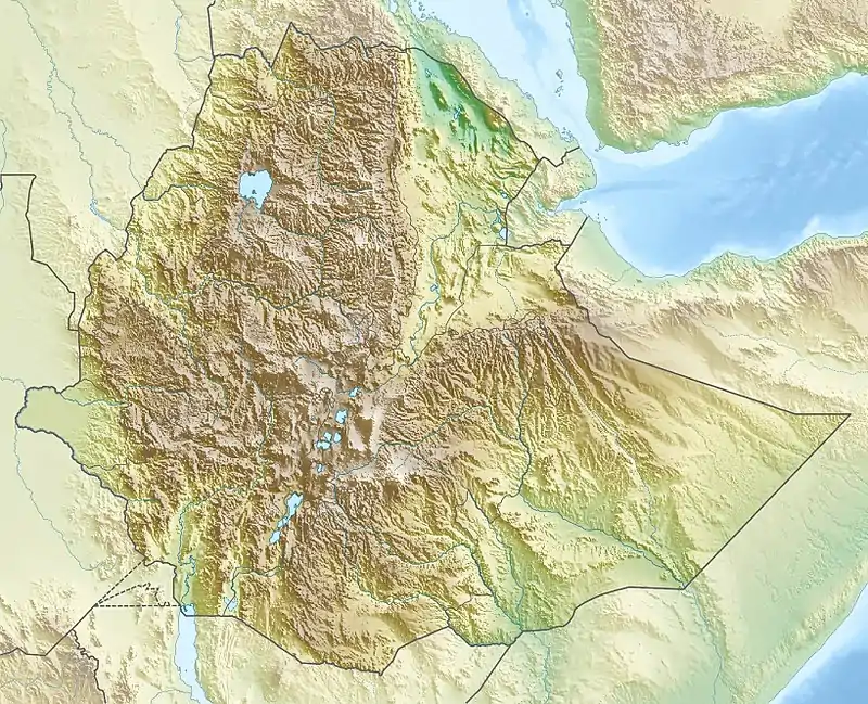
The Logiya rises in the Ethiopian Highlands, then flows eastwards to join the Awash near Semera, below the Tendaho Dam.[1] It runs through flat lowland areas with mountainous boundaries in the Great Rift Valley of northeastern Ethiopia.[2]
Watershed
The Logiya watershed is part of the Lower Awash River Basin (LARB). The upper part is in the North Wollo Zone of the Amhara Region. Lower down it is in the Afar Region.[3] The Logiya watershed lies to the west of the Awash River, and covers an area of 3,197.968 square kilometres (1,234.742 sq mi). Elevations range from 384 to 2,487 metres (1,260 to 8,159 ft) above sea level.[4] The average altitude is 890.6 metres (2,922 ft) above sea level. Mean annual temperature is 20.8 °C (69.4 °F) in the highest parts and 29 °C (84 °F) in the lower part.[5]
The watershed is mainly arid lowlands, and has fluctuating temperature and rainfall.[3] Ground cover includes grass steppe, shrub, tree steppe and bare soil with very sparse vegetation.[6] The watershed suffers from severe degradation of the soil and desertification. However, particularly in the upper regions during the periods of high rainfall, it may be subject to flooding.[7]
Hydrology
The main rainy season is from June to September. The dry season in from October to January and the small rainy season is from February to May. Mean annual precipitation varies from 1,600 millimetres (63 in) in the highlands to 160 millimetres (6.3 in) in the lowlands.[5] A 2020 report on irrigation potential stated that between July and October the Logiya seasonal river flow was 301,640,000 cubic metres (1.0652×10¹⁰ cu ft) based on measurements taken in 1990–2010.[8] The study found that 12.39% of the watershed, or 40,681 hectares (100,520 acres), was highly suitable for spate irrigation. 6.27% of the watershed, or 20,573 hectares (50,840 acres), was moderately suitable for spate irrigation.[9]
See also
References
- Way: Logiya (704159531).
- Kedir Mohammed Bushira & Yassin Mohammed Abdule 2020, p. 135.
- Nura Boru Jilo et al. 2019, p. 2.
- Yidenkachew Argaw 2008, p. 94.
- Nura Boru Jilo et al. 2019, p. 3.
- Nura Boru Jilo et al. 2019, p. 5.
- Nura Boru Jilo et al. 2019, pp. 2–3.
- Kedir Mohammed Bushira & Yassin Mohammed Abdule 2020, pp. 135,138.
- Kedir Mohammed Bushira & Yassin Mohammed Abdule 2020, p. 140.
Sources
- Kedir Mohammed Bushira; Yassin Mohammed Abdule (2020), "Spate Irrigation Potential Assessment for Ethiopian Watershed", The Journal of Agricultural Science, Canadian Center of Science and Education, 12 (7), ISSN 1916-9752
- Nura Boru Jilo; Bogale Gebremariam; Arus Edo Harka; Gezahegn Weldu Woldemariam; Fiseha Behulu (2019), "Evaluation of the Impacts of Climate Change on Sediment Yield from the Logiya Watershed, Lower Awash Basin, Ethiopia", Hydrology (MDPI journal), MDPI, 6 (3), doi:10.3390/hydrology6030081, retrieved 2020-12-24
- "Way: Logiya (704159531)", OpenStreetMap, retrieved 2020-12-24
- Yidenkachew Argaw (June 2008), Flood Frequency Analysis for Lower Awash Subbasin [tributaries from Northern Wollo High Lands] using Swat 2005 Model (PDF) (Thesis), Addis Ababa University, retrieved 2020-12-25