Lorimor, Iowa
Lorimor is a city in Union County, Iowa, United States. The population was 360 at the 2010 census. Lorimor was founded by J.S. Lorimor, who was given the honor of renaming the city, when the town grew after he gave land to the railroads as they traveled through town, in return for the railroad placing a water stop in the town. With the business from the railroads, and his 2,000-acre (8.1 km2) farm of bluegrass seed, the town was quite successful in its early years.
Lorimor, Iowa | |
|---|---|
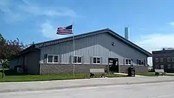 City Hall | |
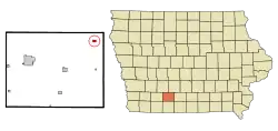 Location of Lorimor, Iowa | |
| Coordinates: 41°7′35″N 94°3′21″W | |
| Country | |
| State | |
| County | Union |
| Area | |
| • Total | 0.38 sq mi (0.98 km2) |
| • Land | 0.38 sq mi (0.98 km2) |
| • Water | 0.00 sq mi (0.00 km2) |
| Elevation | 1,224 ft (373 m) |
| Population | |
| • Total | 360 |
| • Estimate (2019)[3] | 343 |
| • Density | 905.01/sq mi (349.53/km2) |
| Time zone | UTC-6 (Central (CST)) |
| • Summer (DST) | UTC-5 (CDT) |
| ZIP code | 50149 |
| Area code(s) | 641 |
| FIPS code | 19-46515 |
| GNIS feature ID | 0458617 |
Geography
Lorimor is located at 41°07′35″N 94°03′21″W (41.126514, -94.055902).[4]
According to the United States Census Bureau, the city has a total area of 0.38 square miles (0.98 km2), all land.[5]
Demographics
| Year | Pop. | ±% |
|---|---|---|
| 1900 | 587 | — |
| 1910 | 645 | +9.9% |
| 1920 | 678 | +5.1% |
| 1930 | 577 | −14.9% |
| 1940 | 614 | +6.4% |
| 1950 | 505 | −17.8% |
| 1960 | 460 | −8.9% |
| 1970 | 346 | −24.8% |
| 1980 | 405 | +17.1% |
| 1990 | 377 | −6.9% |
| 2000 | 427 | +13.3% |
| 2010 | 360 | −15.7% |
| 2019 | 343 | −4.7% |
| Source:"U.S. Census website". United States Census Bureau. Retrieved 2020-03-29. and Iowa Data Center Source: | ||
2010 census
As of the census[2] of 2010, there were 360 people, 160 households, and 104 families residing in the city. The population density was 947.4 inhabitants per square mile (365.8/km2). There were 211 housing units at an average density of 555.3 per square mile (214.4/km2). The racial makeup of the city was 98.1% White, 0.3% African American, 0.8% Native American, and 0.8% from two or more races. Hispanic or Latino of any race were 0.8% of the population.
There were 160 households, of which 28.8% had children under the age of 18 living with them, 43.8% were married couples living together, 13.8% had a female householder with no husband present, 7.5% had a male householder with no wife present, and 35.0% were non-families. 31.3% of all households were made up of individuals, and 13.1% had someone living alone who was 65 years of age or older. The average household size was 2.25 and the average family size was 2.72.
The median age in the city was 42.2 years. 22.5% of residents were under the age of 18; 7.5% were between the ages of 18 and 24; 24.1% were from 25 to 44; 29.6% were from 45 to 64; and 16.4% were 65 years of age or older. The gender makeup of the city was 45.8% male and 54.2% female.
2000 census
As of the census[7] of 2000, there were 427 people, 176 households, and 114 families residing in the city. The population density was 1,055.2 people per square mile (412.2/km2). There were 188 housing units at an average density of 464.6 per square mile (181.5/km2). The racial makeup of the city was 98.83% White, 0.23% Native American, 0.47% Asian, and 0.47% from two or more races. Hispanic or Latino of any race were 0.47% of the population.
There were 176 households, out of which 31.3% had children under the age of 18 living with them, 51.7% were married couples living together, 10.8% had a female householder with no husband present, and 34.7% were non-families. 27.8% of all households were made up of individuals, and 13.1% had someone living alone who was 65 years of age or older. The average household size was 2.43 and the average family size was 2.99.
In the city, the population was spread out, with 28.3% under the age of 18, 8.0% from 18 to 24, 27.4% from 25 to 44, 21.8% from 45 to 64, and 14.5% who were 65 years of age or older. The median age was 35 years. For every 100 females, there were 92.3 males. For every 100 females age 18 and over, there were 90.1 males.
The median income for a household in the city was $28,636, and the median income for a family was $30,500. Males had a median income of $26,071 versus $20,179 for females. The per capita income for the city was $12,713. About 13.2% of families and 18.9% of the population were below the poverty line, including 31.9% of those under age 18 and 11.8% of those age 65 or over.
Gallery
 Lorimor Post Office
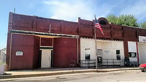
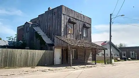 Historic structure in Downtown Lorimor
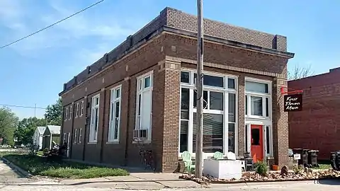 Historic structure in Downtown Lorimor
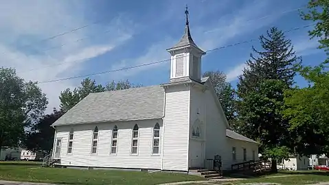 Baptist Church
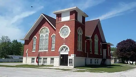 Methodist Church
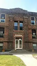 Lorimor School
References
- "2019 U.S. Gazetteer Files". United States Census Bureau. Retrieved July 17, 2020.
- "U.S. Census website". United States Census Bureau. Retrieved 2012-05-11.
- "Population and Housing Unit Estimates". United States Census Bureau. May 24, 2020. Retrieved May 27, 2020.
- "US Gazetteer files: 2010, 2000, and 1990". United States Census Bureau. 2011-02-12. Retrieved 2011-04-23.
- "US Gazetteer files 2010". United States Census Bureau. Archived from the original on 2012-07-02. Retrieved 2012-05-11.
- "Census of Population and Housing". Census.gov. Retrieved June 4, 2015.
- "U.S. Census website". United States Census Bureau. Retrieved 2008-01-31.
Municipalities and communities of Union County, Iowa, United States | ||
|---|---|---|
| Cities | Map of Iowa highlighting Union County | |
| CDP | ||
| Unincorporated communities | ||
| Footnotes | ‡This populated place also has portions in an adjacent county or counties | |
| ||