Lower Moira
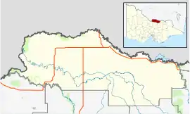
Lower Moira is a locality in northern Victoria, Australia. The locality is in the south-west part of Shire of Moira. Lower Moira is mostly farmland. To the west is the New South Wales border.[1]
| Lower Moira Victoria | |||||||||||||||
|---|---|---|---|---|---|---|---|---|---|---|---|---|---|---|---|
 Lower Moira | |||||||||||||||
| Coordinates | 36°06′13″S 145°00′13″E | ||||||||||||||
| Population | 25 (2016) | ||||||||||||||
| Postcode(s) | 3639 | ||||||||||||||
| LGA(s) | Shire of Moira | ||||||||||||||
| State electorate(s) | Shepparton | ||||||||||||||
| Federal Division(s) | Nicholls | ||||||||||||||
| |||||||||||||||
The post office there opened in 1902, closed in 1930, reopened on 12 September 1938, and closed on 19 February 1953.[2]
References
- LGA. Map http://www.dse.vic.gov.au/__data/assets/pdf_file/0018/104571/Moira_V45.pdf Archived 2012-03-30 at the Wayback Machine
- Premier Postal History, Post Office List, retrieved 11 April 2008
This article is issued from Wikipedia. The text is licensed under Creative Commons - Attribution - Sharealike. Additional terms may apply for the media files.