Lower Rose
Lower Rose is a hamlet in the parish of Perranzabuloe (where the population at the 2011 census was included.), Cornwall, England, UK.[1][2] Lower Rose is approximately 6 miles (9.7 km) north of Truro.[3]
| Lower Rose | |
|---|---|
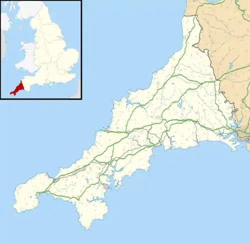 Lower Rose Location within Cornwall | |
| OS grid reference | SW780549 |
| Civil parish | |
| Unitary authority | |
| Ceremonial county | |
| Region | |
| Country | England |
| Sovereign state | United Kingdom |
| Post town | Truro |
| Postcode district | TR4 |
References
- Ordnance Survey: Landranger map sheet 200 Newquay & Bodmin (Camelford & St Austell) (Map). Ordnance Survey. ISBN 978-0-319-22938-5.
- Lower Rose; Explore Britain
- "GENUKI: How far is it from SX038593?". www.genuki.org.uk. GENUKI. Retrieved 30 January 2016.
Cornwall Portal | |
| Unitary authorities | |
| Major settlements |
|
| Rivers | |
| Topics | |
This article is issued from Wikipedia. The text is licensed under Creative Commons - Attribution - Sharealike. Additional terms may apply for the media files.