Lower Shuckburgh
Lower Shuckburgh is a small village in eastern Warwickshire. It lies within the civil parish of Upper and Lower Shuckburgh, which in the 2001 census had a population of 82.[1]
| Lower Shuckburgh | |
|---|---|
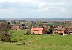 Lower Shuckburgh from the south | |
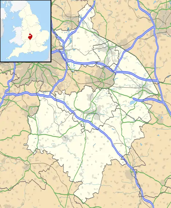 Lower Shuckburgh Location within Warwickshire | |
| Population | 82 (2001 Census) |
| OS grid reference | SP4862 |
| Civil parish |
|
| District | |
| Shire county | |
| Region | |
| Country | England |
| Sovereign state | United Kingdom |
| Post town | DAVENTRY |
| Postcode district | NN11 |
| Dialling code | 01327 |
| Police | Warwickshire |
| Fire | Warwickshire |
| Ambulance | West Midlands |
| UK Parliament | |
The village lies on the A425 road between Southam and Daventry. Just north of the village is the Oxford Canal. On Beacon Hill, just south of the village, is the deserted village of Upper Shuckburgh after which the parish is partly named.
The most notable building in the village is the Church of St John the Baptist, designed by John Croft, which dates from 1864 and is built in Gothic style. The 15 feet (5 m) war memorial is a Hornton stone obelisk, unveiled in 1921 and decorated with a bronze wreath of laurels.[2]
Shuckburgh was mentioned in the Domesday Book as Sochberge, possibly referring to a long lost burial mound or barrow. The villages appear as Ouer Shugbury and Nether Shugbury on the Christopher Saxton map of 1637.
References
- ONS Neighbourhood statistics
- Nicholson, Jean et al: The Obelisks of Warwickshire, page 61. Brewin Books, 2013
Sources
- Allen, Geoff. (2000). Warwickshire Towns and Villages. Sigma Leisure. ISBN 1-85058-642-X
External links
![]() Media related to Lower Shuckburgh at Wikimedia Commons
Media related to Lower Shuckburgh at Wikimedia Commons