Mérindol
Mérindol is a commune in the Vaucluse department in the Provence-Alpes-Côte d'Azur region in southeastern France.
- For the French doctor, see Antoine Mérindol (1570-1624)
Mérindol | |
|---|---|
 Town hall and church | |
.svg.png.webp) Coat of arms | |
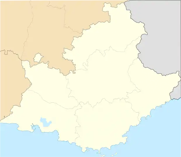
Location of Mérindol 
| |
 Mérindol  Mérindol | |
| Coordinates: 43°45′24″N 5°12′14″E | |
| Country | France |
| Region | Provence-Alpes-Côte d'Azur |
| Department | Vaucluse |
| Arrondissement | Apt |
| Canton | Cheval-Blanc |
| Government | |
| • Mayor (2020–2026) | Philippe Batoux[1] |
| Area 1 | 26.59 km2 (10.27 sq mi) |
| Population (2017-01-01)[2] | 2,097 |
| • Density | 79/km2 (200/sq mi) |
| Time zone | UTC+01:00 (CET) |
| • Summer (DST) | UTC+02:00 (CEST) |
| INSEE/Postal code | 84074 /84360 |
| Elevation | 100–620 m (330–2,030 ft) (avg. 168 m or 551 ft) |
| 1 French Land Register data, which excludes lakes, ponds, glaciers > 1 km2 (0.386 sq mi or 247 acres) and river estuaries. | |

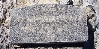
Mérindol plaque "In memory of the Waldensians who died for their faith" − commemorating victims of the 16th century Massacre of Mérindol.
The village, located south of the Luberon massif, has some prominence in the plain of the Durance river which demarcates the Vaucluse and Bouches-du-Rhône departments. This plain has allowed the municipality to develop an agriculture which remains relatively important for its economy. Its history, like that of several other villages in the Luberon, was marked by the French Wars of Religion.
History
See Massacre of Mérindol
Points of interest
- Arboretum du Font de l'Orme
- Massacre of Mérindol
References
- "Répertoire national des élus: les maires". data.gouv.fr, Plateforme ouverte des données publiques françaises (in French). 2 December 2020. Retrieved 7 December 2020.
- "Populations légales 2017". INSEE. Retrieved 6 January 2020.
| Wikimedia Commons has media related to Mérindol. |
This article is issued from Wikipedia. The text is licensed under Creative Commons - Attribution - Sharealike. Additional terms may apply for the media files.