Maasgouw
Maasgouw is a municipality in the Dutch province of Limburg. It is located on both banks of the river Meuse southwest of the city of Roermond. It was formed in a merger of the former municipalities of Heel, Maasbracht and Thorn on 1 January 2007.
Maasgouw | |
|---|---|
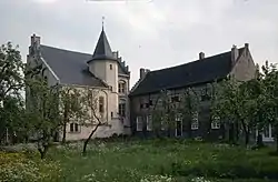 Hasselholt castle in Ohé en Laak | |
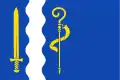 Flag  Coat of arms | |
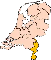
.svg.png.webp) Location in Limburg | |
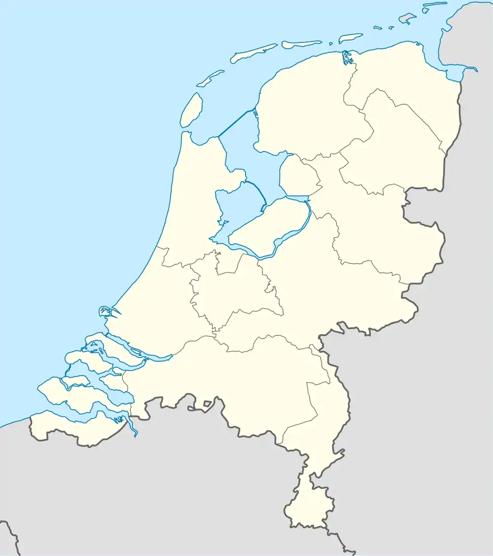 Maasgouw Location in the Netherlands | |
| Coordinates: 51°9′N 5°54′E | |
| Country | Netherlands |
| Province | Limburg |
| Established | 1 January 2007[1] |
| Government | |
| • Body | Municipal council |
| • Mayor | Stef Strous (PvdA) |
| Area | |
| • Total | 58.12 km2 (22.44 sq mi) |
| • Land | 45.71 km2 (17.65 sq mi) |
| • Water | 12.41 km2 (4.79 sq mi) |
| Elevation | 27 m (89 ft) |
| Population (January 2019)[5] | |
| • Total | 23,716 |
| • Density | 519/km2 (1,340/sq mi) |
| Time zone | UTC+1 (CET) |
| • Summer (DST) | UTC+2 (CEST) |
| Postcode | Parts of 6000 range |
| Area code | 0475 |
| Website | gemeentemaasgouw |
The municipality contains a number of towns and villages:
- Beegden
- Brachterbeek
- Heel
- Linne
- Maasbracht
- Ohé en Laak
- Panheel
- Stevensweert
- Thorn
- Wessem.
Topography
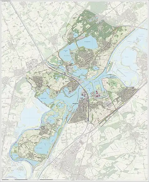
Dutch Topographic map of the municipality of Maasgouw, June 2015.
Notable people
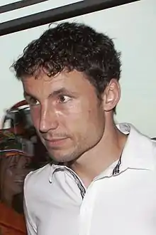
Mark van Bommel, 2010
- Henk van Hoof (born 1947) a retired Dutch politician, lives in Ohé en Laak
- Jan Cober (born 1951 in Thorn) a Dutch conductor and clarinet player
- Guido Geelen (born 1961 in Thorn) a Dutch sculptor, furniture designer and ceramist
- Margo Reuten (born ca.1966 in Maasbracht) a Dutch head chef, holds two Michelin stars
- Lies Visschedijk (born 1974 in Heel) a Dutch actress[6]
Sport
- Annemiek Derckx (born 1954 in Beegden) a Dutch sprint canoer, twice bronze medallist at the 1984 and 1988 Summer Olympics
- Bas Peters (born 1976 in Heel) a Dutch mountain biker, competed at the 2004 Summer Olympics
- Mark van Bommel (born 1977 in Maasbracht) a Dutch former footballer with 536 club caps.
Gallery
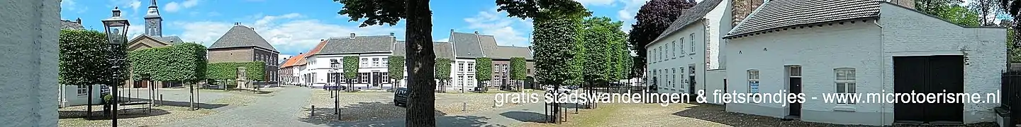 Stevensweert
References
- "Gemeentelijke indeling op 1 januari 2007" [Municipal divisions on 1 January 2007]. cbs.nl (in Dutch). CBS. Retrieved 7 November 2013.
- "Burgemeester Strous" [Mayor Strous] (in Dutch). Gemeente Maasgouw. Retrieved 8 November 2013.
- "Kerncijfers wijken en buurten 2020" [Key figures for neighbourhoods 2020]. StatLine (in Dutch). CBS. 24 July 2020. Retrieved 19 September 2020.
- "Postcodetool for 6051DZ". Actueel Hoogtebestand Nederland (in Dutch). Het Waterschapshuis. Archived from the original on 21 September 2013. Retrieved 8 November 2013.
- "Bevolkingsontwikkeling; regio per maand" [Population growth; regions per month]. CBS Statline (in Dutch). CBS. 1 January 2019. Retrieved 1 January 2019.
- IMDb Database retrieved 02 December 2019
External links
 Media related to Maasgouw at Wikimedia Commons
- Official website
Places adjacent to Maasgouw | |
|---|---|
| Authority control |
|---|
This article is issued from Wikipedia. The text is licensed under Creative Commons - Attribution - Sharealike. Additional terms may apply for the media files.