Madaya, Myanmar
Madaya is a town in the Mandalay Region of central Myanmar. It is the seat of Madaya Township. It lies along National Highway 31. Lamaing lies just to the south-east. The Madaya River in the area is connected to the Mandalay Canal, and crosses the township of Madaya diagonally for some 30 miles and joins the Irrawaddy River.[1]
Madaya (Myanmar)
မတ္တရာ | |
|---|---|
Town | |
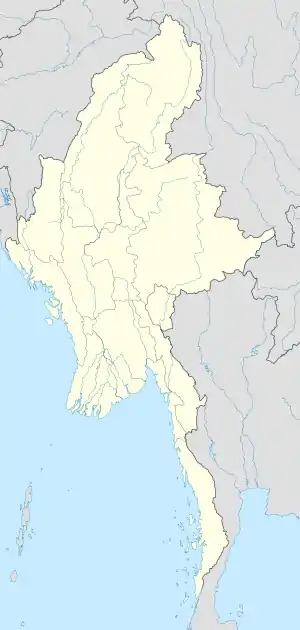 Madaya (Myanmar) Location in Burma | |
| Coordinates: 22°12′37.4″N 96°06′45.3″E | |
| Country | |
| Division | |
| District | Pyin Oo Lwin District |
| Township | Madaya Township |
| Time zone | UTC+6.30 (MST) |
History
In the 16th century, the Gwe Shans built a stockade in the village of Okpo.[2] On October 1, 1886 there was a reported small native garrison at Madaya and nearby Lamaing and the town was subject to invasion the same month.[3][4]
References
- Imperial gazetteer of India: provincial series. Superintendent of Government Printing. 1908. p. 79. Retrieved 3 January 2011.
- E., Harvey G.; Harvey, G.E. (1 July 2000). History of Burma. Asian Educational Services. p. 211. ISBN 978-81-206-1365-2. Retrieved 3 January 2011.
- James George Scott; Hardiman, J. P. (1901). Gazetteer of Upper Burma and the Shan states. AMS Press. ISBN 9780404168643. Retrieved 3 January 2011.
- India. Army. Intelligence Branch; Paget, William Henry (1907). Frontier and Overseas Expeditions from India: Burma. Govt. Monotype Press. Retrieved 3 January 2011.
External links
Capital: Madaya | |
|
Capital: Mandalay | ||
| Kyaukse District |  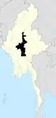 | |
| Mandalay District | ||
| Meiktila District | ||
| Myingyan District | ||
| Nyaung-U District |
| |
| Pyinoolwin District | ||
| Yamethin District | ||
| Main cities and towns | ||
This article is issued from Wikipedia. The text is licensed under Creative Commons - Attribution - Sharealike. Additional terms may apply for the media files.