Mae Sai District
Mae Sai District (Thai: แม่สาย, pronounced [mɛ̂ː sǎːj]; Shan: မႄႈသၢႆ, pronounced [mɛ.sʰǎj]) is the northernmost district (amphoe) of Chiang Rai Province in northern Thailand. The town of Mae Sai is a major border crossing between Thailand and Myanmar. Asian Highway Network AH2 (Thailand Route 1 or Phahonyothin Road) crosses the Mae Sai River to the town Tachileik in Myanmar.
Mae Sai
แม่สาย | |
|---|---|
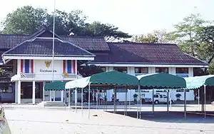
 Myanmar-Thailand bridge, Mae Sai Town | |
 District location in Chiang Rai Province | |
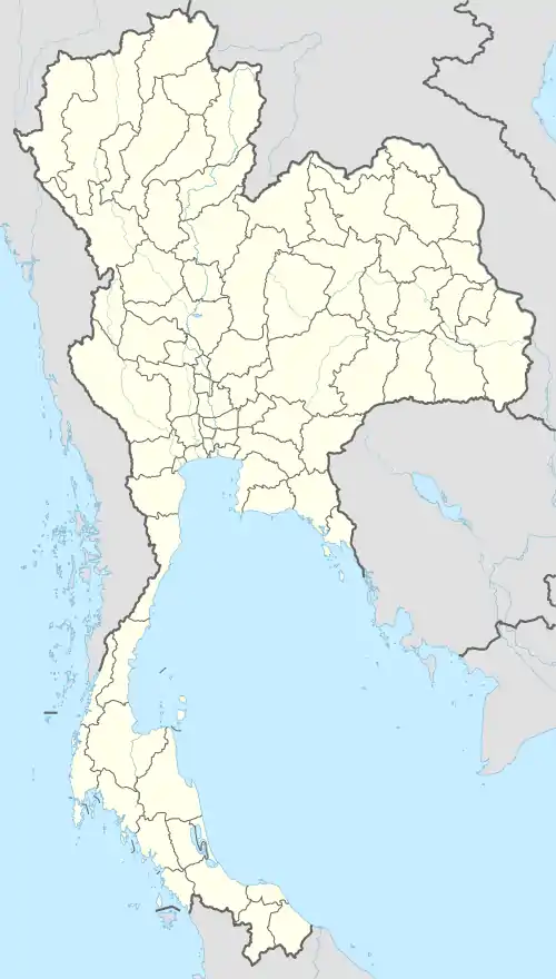 Mae Sai Location in Thailand | |
| Coordinates: 20°25′41″N 99°53′1″E | |
| Country | Thailand |
| Province | Chiang Rai |
| Seat | Mae Sai |
| Area | |
| • Total | 285.0 km2 (110.0 sq mi) |
| Population (2005) | |
| • Total | 86,298 |
| • Density | 302.8/km2 (784/sq mi) |
| Time zone | UTC+7 (ICT) |
| Postal code | 57130 |
| Geocode | 5709 |
One-day passes for non-Burmese nationals crossing into Myanmar are issued at Myanmar customs in Tachileik. Passports are confiscated and a temporary travel permit is issued; the permit is exchanged for the traveler's passport upon crossing back into Thailand. (No longer available as of 2016.) Since the changes in Thai immigration policy since March 2016, crossing this border as a foreign national is highly depended on individual Thai customs officers, as they have discretion.
Mae Sai is 259 km (161 mi) north of Chiang Mai, 61 km (38 mi) north of Chiang Rai, and 850 km (528 mi) north of Bangkok.
Geography
Neighboring districts are (from the east clockwise): Chiang Saen, Mae Chan, and Mae Fa Luang. To the north is Myanmar, separated by the Mae Sai River and the Ruak River. The westernmost part of the district is dominated by the hills of the Daen Lao Range, the most important one is the Doi Tung with the Wat Phra That Doi Tung temple on top. Doi Nang Non is another notable mountain in Mae Sai District.
History
The minor district (king amphoe) Mae Sai was created on 1 March 1939, when the two tambons Mae Sai and Pong Pha were split off from Chiang Saen District.[1] The area was upgraded to a full district on 1 May 1950.[2]
Administration

The district is divided into eight subdistricts (tambons), which in turn are further subdivided into 92 villages (mubans). There are two subdistrict municipalities (thesaban tambons) in the district: Mai Sai itself covering parts of the tambons Mae Sai and Wiang Phang Kham, and Huai Khrai covering parts of tambon Huai Khrai. There are a further eight tambon administrative organizations (TAO).
| No. | Name | Thai name | Villages | Pop. | |
|---|---|---|---|---|---|
| 1. | Mae Sai | แม่สาย | 14 | 21,697 | |
| 2. | Huai Khrai | ห้วยไคร้ | 11 | 7,609 | |
| 3. | Ko Chang | เกาะช้าง | 13 | 9,964 | |
| 4. | Pong Pha | โป่งผา | 12 | 8,348 | |
| 5. | Si Mueang Chum | ศรีเมืองชุม | 9 | 5,090 | |
| 6. | Wiang Phang Kham | เวียงพางคำ | 13 | 19,945 | |
| 8. | Ban Dai | บ้านด้าย | 8 | 4,117 | |
| 9. | Pong Ngam | โป่งงาม | 12 | 9,528 |
The geocode 7 is not used.
References
- ประกาศกระทรวงมหาดไทย เรื่อง ตั้งกิ่งอำเภอแม่สาย ขึ้นอำเภอเชียงแสน จังหวัดเชียงราย (PDF). Royal Gazette (in Thai). 55 (0 ง): 3873. 20 February 1939.
- ประกาศสำนักนายกรัฐมนตรี เรื่อง ยกฐานะกิ่งอำเภอแม่สาย อำเภอแม่จัน จังหวัดเชียงราย ขึ้นเป็นอำเภอ (PDF). Royal Gazette (in Thai). 67 (20 ง): 1433. 11 April 1950.
External links
| Wikimedia Commons has media related to Mae Sai District. |
 Mae Sai travel guide from Wikivoyage
- Chiang Rai Province travel guide from Wikivoyage
- amphoe.com (Thai)
- http://www.maesai.go.th Website of Mae Sai township (Thai)
