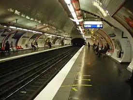
Mairie de Saint-Ouen (Paris Métro)
Mairie de Saint-Ouen (French pronunciation: [mɛʁi d(ə) sɛ̃t‿wɛ̃]) is a station on line 13 of the Paris Métro in the commune of Saint-Ouen. The station opened on 30 June 1952 when the line was extended from Porte de Saint-Ouen to Carrefour Pleyel. It is named after the nearby town hall of Saint-Ouen.
Mairie de Saint-Ouen | ||||||||||||||||
|---|---|---|---|---|---|---|---|---|---|---|---|---|---|---|---|---|
| Paris Métro station | ||||||||||||||||
 | ||||||||||||||||
| Location | Saint-Ouen, Seine-Saint-Denis Île-de-France France | |||||||||||||||
| Coordinates | 48°54′42″N 2°20′02″E | |||||||||||||||
| Owned by | RATP | |||||||||||||||
| Operated by | RATP | |||||||||||||||
| Other information | ||||||||||||||||
| Fare zone | 1 | |||||||||||||||
| History | ||||||||||||||||
| Opened | 30 June 1952 | |||||||||||||||
| Services | ||||||||||||||||
| ||||||||||||||||
| Location | ||||||||||||||||
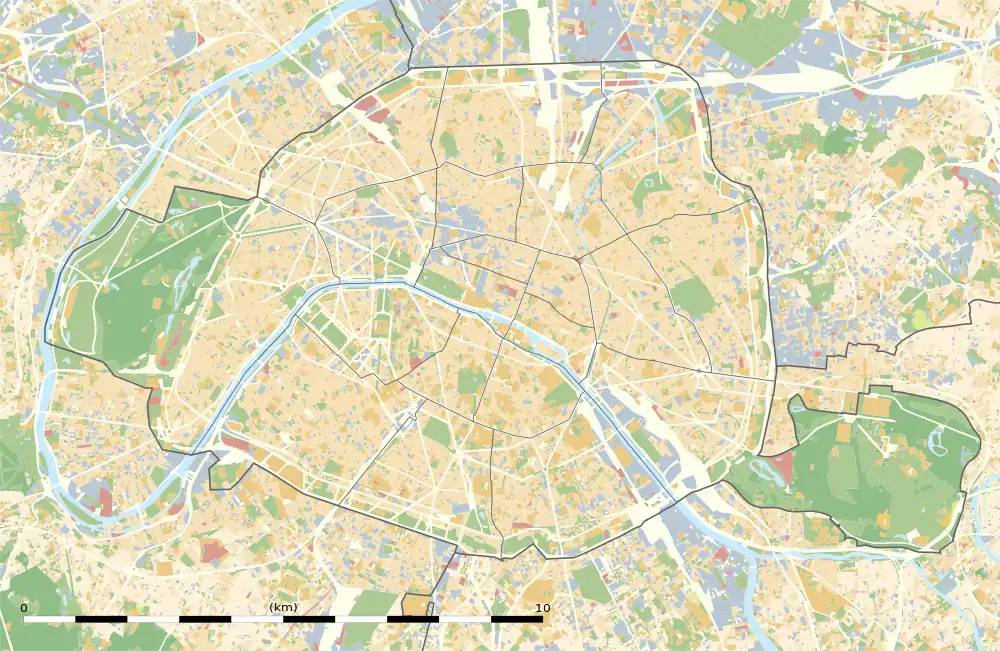 Mairie de Saint-Ouen Location just north of Paris | ||||||||||||||||
It is proposed that the station will become one of the most important interchange stations in northern Paris. The northern extension of Line 4 to the "docks" of Saint-Ouen (an urban redevelopment project next to the Seine) via Mairie de Saint-Ouen is planned for phase 1 (2007–2013) of the Schéma directeur de la région Île-de-France ("Master plan for the Île-de-France region", SDRIF), which was adopted by resolution of the Regional Council of Ile-de-France on 25 September 2008.[1]
The study of the Syndicat des transports d'Île-de-France ("Île-de-France public transport executive", STIF) of October 2007 recommended an extension of line Line 14 by 5.9 kilometres by 2017, intersecting the northwestern branch of line 13 at Porte de Clichy and the northern branch at Mairie de Saint-Ouen in order to reduce crowding on the line.[2]
Station layout
| G | Street Level | Exit/Entrance |
| B1 | Mezzanine | Fare control, connection between platforms |
| B2 | Side platform, doors will open on the right | |
| Northbound | ← | |
| Southbound | | |
| Side platform, doors will open on the right | ||
| B3 | Side platform, doors will open on the right | |
| Northbound | ← | |
| Southbound | | |
| Side platform, doors will open on the right | ||
References
- "Développer le réseau pour accompagner le projet urbain (Expand the network to support urban development)" (PDF) (in French). Master plan for the Île-de-France region. p. 81. Retrieved 10 September 2009.
- "Comment soulager la ligne 13 (How to relieve Line 13)" (in French). 20 Minutes. 19 October 2007. Archived from the original on 29 May 2012. Retrieved 10 September 2009.
| Stations |
| ||||||
|---|---|---|---|---|---|---|---|
| Stations | |
|---|---|