Malacatán Airport
Malacatán Airport (ICAO: MGML) is an airport serving the town of Malacatán in the San Marcos Department of Guatemala.
Malacatán Airport | |||||||||||
|---|---|---|---|---|---|---|---|---|---|---|---|
| Summary | |||||||||||
| Airport type | Public | ||||||||||
| Serves | Malacatán, Guatemala | ||||||||||
| Elevation AMSL | 1,194 ft / 364 m | ||||||||||
| Coordinates | 14°54′28″N 92°05′20″W | ||||||||||
| Map | |||||||||||
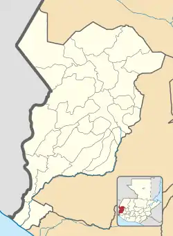 MGML Location in San Marcos Department 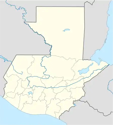 MGML Location in Guatemala | |||||||||||
| Runways | |||||||||||
| |||||||||||
The runway is in the countryside 2 kilometres (1.2 mi) west of the town. The Tapachula VOR-DME (Ident: TAP) is located 18.1 nautical miles (33.5 km) southwest of the airport.[3]
See also
 Guatemala portal
 Aviation portal
- Transport in Guatemala
- List of airports in Guatemala
References
- Google Maps - Malacatán
- Airport information for Malacatán Airport at Great Circle Mapper.
- Tapachula VOR
External links
- OurAirports - Malacatán
- FallingRain - Malacatán Airport
- OpenStreetMap - Malacatán
- Accident history for Malacatán Airport at Aviation Safety Network
This article is issued from Wikipedia. The text is licensed under Creative Commons - Attribution - Sharealike. Additional terms may apply for the media files.
