Malhada Sorda
Malhada Sorda is a town and civil parish in the municipality of Almeida, Portugal. The population in 2011 was 334,[1] in an area of 45.77 km².[2]
Malhada Sorda | |
|---|---|
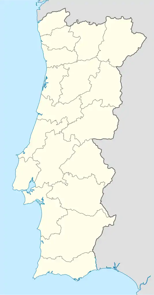
 Malhada Sorda Location in Portugal | |
| Coordinates: 40.53511710°N 6.91340446°W | |
| Country | |
| Region | Centro |
| Intermunic. comm. | Beiras e Serra da Estrela |
| District | Guarda |
| Municipality | Almeida |
| Area | |
| • Total | 45.77 km2 (17.67 sq mi) |
| Population (2011) | |
| • Total | 334 |
| • Density | 7.3/km2 (19/sq mi) |
| Time zone | UTC±00:00 (WET) |
| • Summer (DST) | UTC+01:00 (WEST) |
| Postal code | 6355-080 |
Population
| Population of the Parish of Malhada Sorda [3] | ||||||||||||||
|---|---|---|---|---|---|---|---|---|---|---|---|---|---|---|
| 1864 | 1878 | 1890 | 1900 | 1911 | 1920 | 1930 | 1940 | 1950 | 1960 | 1970 | 1981 | 1991 | 2001 | 2011 |
| 1 170 | 1 167 | 1 249 | 1 255 | 1 317 | 1 268 | 1 114 | 1 315 | 1 336 | 1 289 | 696 | 498 | 446 | 364 | 334 |
Patrimony
- Parish Church of Saint Michael of Malhada Sorda and Belfry
- Anta da Pedra de Anta
- Sepulturas escavadas na rocha
- Sanctuary of Our Lady of Ajuda and Convent of the Barefooted Augustinians
- Traditional pottery kiln
- Alminhas da Malhada Sorda (Shrines)
- Synagogue of Malhada Sorda, with Sun clock
- Chapels of Saint Sebastian, Saint Anthony and of the Holy Christ
- Museum Padre José Pinto
- Jewry
Festivities and Pilgrimages
- Pilgrimage – Festivities in Honor of Our Lady of Ajuda (September 5 to September 9) - the largest Pilgrimage of the Diocese of Guarda, which attracts pilgrims to the Sanctuary all year round
- Festivities
- Saint Michael (last Monday of May)
- Saint Sebastian (Sunday after the January 20)
- Festivities of the Singles and of the Divine Holy Spirit (Pentecost)
- Festivities of the Lord (Corpus Christi)
- Ceremonies of the Holy Week
Fairs
- Every third weekend of the month
- Annual fair - September 7
References
- Instituto Nacional de Estatística
- "Áreas das freguesias, concelhos, distritos e país". Archived from the original on 2018-11-05. Retrieved 2018-11-05.
- Instituto Nacional de Estatística (Recenseamentos Gerais da População) - https://www.ine.pt/xportal/xmain?xpid=INE&xpgid=ine_publicacoes
External links
- Bird Observation in the region of Malhada Sorda - in Portuguese
- Festivities in Honor of Our Lady of Ajuda - in Portuguese
This article is issued from Wikipedia. The text is licensed under Creative Commons - Attribution - Sharealike. Additional terms may apply for the media files.