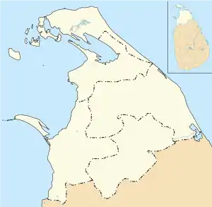
Mannar, Sri Lanka
Mannar (Tamil: மன்னார், romanized: Maṉṉār, Sinhala: මන්නාරම, romanized: Mannārama, formerly spelled Manar) is the main town of Mannar District, Northern Province, Sri Lanka. It is governed by an Urban Council. The town is located on Mannar Island overlooking the Gulf of Mannar and is home to the historic Ketheeswaram temple.
Mannar
மன்னார் මන්නාරම | |
|---|---|
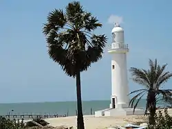 Mannar lighthouse | |
 Mannar 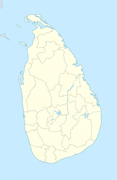 Mannar | |
| Coordinates: 8°58′0″N 79°53′0″E | |
| Country | Sri Lanka |
| Province | Northern |
| District | Mannar |
| DS Division | Mannar |
| Government | |
| • Type | Urban Council |
| • Chairman | N/A |
| Population (2011) | |
| • Total | 35,817 |
| • Density | 308/km2 (797/sq mi) |
| Time zone | UTC+5:30 (Sri Lanka Standard Time Zone) |
Formerly the town was renowned as a center of pearl fishing, mentioned in the 2nd-century CE Periplus of the Erythraean Sea.[1]
Mannar is known for its baobab trees and for its fort, built by the Portuguese in 1560 and taken by the Dutch in 1658 and rebuilt; its ramparts and bastions are intact, though the interior is largely destroyed.
Visually, the modern town is dominated by its churches, Hindu temples and mosques.[2] The Catholic Church has a diocese headquartered in the town. By rail the town is connected to the rest of Sri Lanka by the Mannar Line. It was occupied by LTTE during Sri Lankan Civil War between 1983 and 2009.
Etymology
The region is itself named after the river Mannar, derived from the Tamil words maṉṉ meaning "mud" or "clay" and ār meaning river.[3]
See also
References
- Noted in Edwin William Streeter, Pearls and Pearling Life 1886:24.
- Edward Aves, Sri Lanka (Footprint Travel Guides, 2003: ISBN 1-903471-78-8), p. 337.
- Journal of the Royal Asiatic Society of Sri Lanka. Royal Asiatic Society of Sri Lanka. 1992. p. 120.
External links
| ||