Mealsgate
Mealsgate is a village in Cumbria England, historically within Cumberland.
| Mealsgate | |
|---|---|
 All Saints' Church, Allhallows, Mealsgate | |
| OS grid reference | NY208421 |
| Civil parish | |
| District | |
| Shire county | |
| Region | |
| Country | England |
| Sovereign state | United Kingdom |
| Post town | WIGTON |
| Postcode district | CA7 |
| Dialling code | 01900 |
| Police | Cumbria |
| Fire | Cumbria |
| Ambulance | North West |
| UK Parliament | |
Location
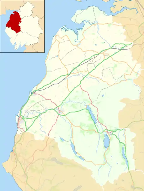
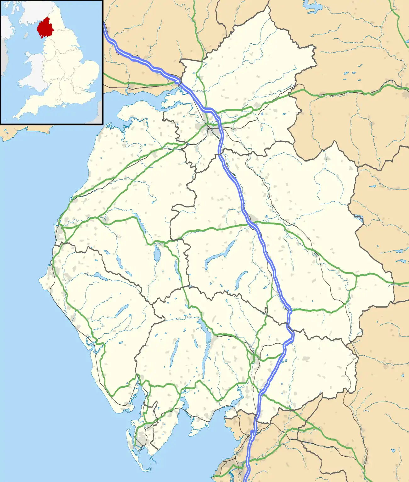
Mealsgate grid reference NY208421 is situated on the old Roman Road between Carlisle and the Roman fort of Derventio at Papcastle NY110315.[1] This road is now known as the A595. Mealsgate is situated 5.6 mi (9 km) from the market town of Wigton, 16.2 mi (26 km) from the border city of Carlisle, 15.1 mi (24 km) from Keswick and 10 mi (16 km) from the town of Cockermouth. Mealsgate is situated on edge of the Lake District National Park.
Railway Connection
Mealsgate[2] was a stop on the Bolton Loop[3] of the Maryport and Carlisle Railway and served the pit at Fletchertown[4] like other stops on the loop.
Governance
The village is in the parliamentary constituency of Workington.
For Local Government purposes it is in the Boltons Ward of Allerdale Borough Council. The village straddles the Aspatria Ward and Thursby Ward of Cumbria County Council.
Mealsgate does not have its own parish council, instead it is part of Allhallows Parish Council. The Parish of Allhallows incorporates the three villages of Baggrow, Fletchertown and Watch Hill, together with the area of Mealsgate known as Pine Grove.[5]
Landmarks
Around 1 mi (2 km) to the south-west is Whitehall, a medieval tower house, restored by Anthony Salvin in the 19th century.[6]
References
- Derventio Carvetiorvm Archived 2007-07-13 at the Wayback Machine
- Walking the LIne 2005 - Baggrow to Mealsgate
- Old Mealsgate Pictures - Maryport and Carlisle Railway
- Maryport and Carlisle Railway - Towns and Villages
- "The Parish of Allhallows".
- "Whitehall, Allhallows". britishlistedbuildings.co.uk. Retrieved 8 March 2011.

