Medicine Bow Airport
Site 32 SL-O (Salt Lake-Omaha) Intermediate Field Historic District, also known as the Medicine Bow Airport (FAA LID: 80V), is an early lighted airway on the Transcontinental Airway System, located just south of the town of Medicine Bow, Wyoming. The airport was built at this location in 1929. It consisted of a constantly-lit beacon and cement arrow, which pointed the way to the next beacon along the airway route.
Site 32 SL-O Intermediate Field Historic District | |
 | |
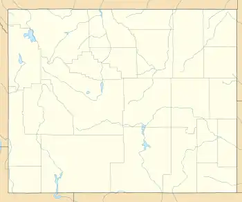 | |
| Location | Medicine Bow, Wyoming |
|---|---|
| Coordinates | 41.8865°N 106.1884°W |
| Built | 1929 |
| NRHP reference No. | 12000054[1] |
| Added to NRHP | February 28, 2012 |
References
External links
- Site 32 SL-O Intermediate Field Historic District at the Wyoming State Historic Preservation Office
This article is issued from Wikipedia. The text is licensed under Creative Commons - Attribution - Sharealike. Additional terms may apply for the media files.
