Millsite State Park
Millsite State Park is a state park on the south end of Millsite Reservoir at the mouth of Ferron Canyon in western Emery County, Utah, United States, just west of the town of Ferron.[4]
| Millsite State Park | |
|---|---|
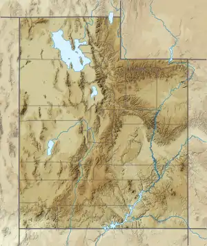 Location of Millsite State Park in Utah  Millsite State Park (the United States) | |
| Location | Emery County, Utah United States |
| Coordinates | 39°5′30″N 111°11′32″W |
| Area | 638 acres (258 ha)[1] |
| Elevation | 6,100 ft (1,900 m)[2] |
| Visitors | 40487 (in 2011)[3] |
| Operator | Utah State Parks |
Description
Millsite State Park offers access to off highway vehicle and mountain bike riding areas. The reservoir is open to swimming, boating, waterskiing, and fishing. Adjacent to the park is a public 18-hole golf course.
Millsite Reservoir is part of the Ferron Watershed Project, a multipurpose water containment completed in 1970 with the combined efforts of several agencies. Before the dam was built, there was an old dam at the site to service a flourmill, hence the reservoir name.[2]
References
- Utah.com. "Millsite State Park". Utah.com LC. Retrieved 2011-02-09.
- "Millsite State Park: About the Park". Utah State Parks. Archived from the original on 2011-03-16. Retrieved 2011-02-09.
- "Utah State Park 2011 Visitation" (PDF). Utah State Parks Planning. Retrieved 28 May 2012.
- U.S. Geological Survey Geographic Names Information System: Millsite State Park
![]() This article incorporates public domain material from the website of the Division of Utah State Parks and Recreation.
This article incorporates public domain material from the website of the Division of Utah State Parks and Recreation.