Montigny-lès-Cormeilles
Montigny-lès-Cormeilles (French pronunciation: [mɔ̃.ti.ɲi.lɛ.kɔʁ.mɛj]) is a commune in Val d'Oise, in the northwestern suburbs of Paris, France. It is located 19.0 km (11.8 mi) from the center of Paris.
Montigny-lès-Cormeilles | |
|---|---|
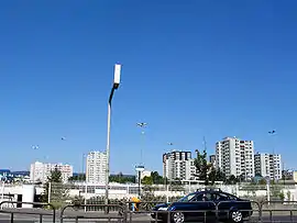 Housing seen from the commercial area | |
.svg.png.webp) Coat of arms | |
 Location (in red) within Paris inner and outer suburbs | |
Location of Montigny-lès-Cormeilles 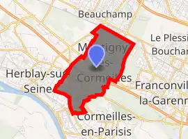
| |
 Montigny-lès-Cormeilles Location (in red) within Paris inner and outer suburbs 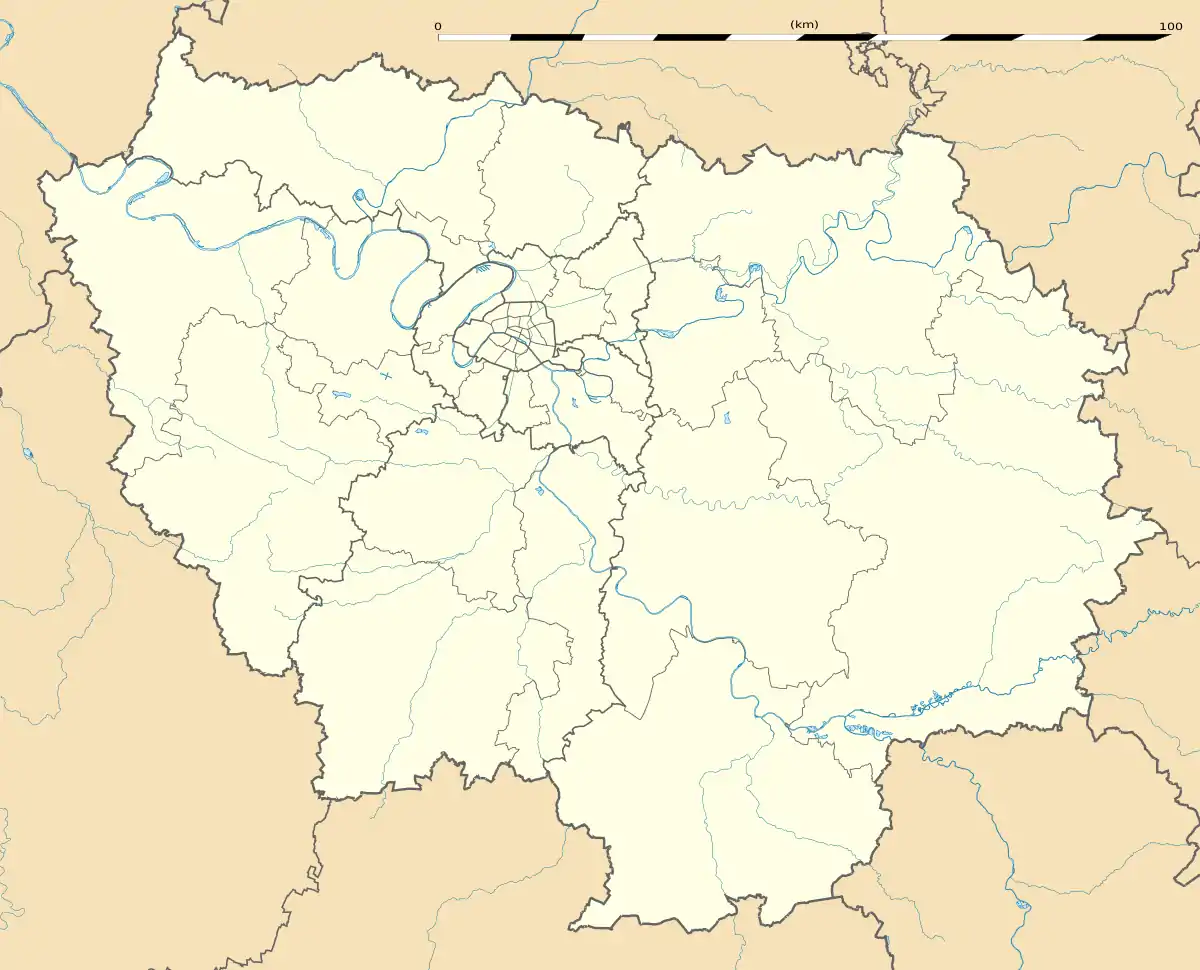 Montigny-lès-Cormeilles Montigny-lès-Cormeilles (Île-de-France (region)) | |
| Coordinates: 48°59′40″N 2°11′45″E | |
| Country | France |
| Region | Île-de-France |
| Department | Val-d'Oise |
| Arrondissement | Argenteuil |
| Canton | Herblay |
| Intercommunality | CA Val Parisis |
| Government | |
| • Mayor (2020–2026) | Jean-Noël Carpentier |
| Area 1 | 4.07 km2 (1.57 sq mi) |
| Population | 21,601 |
| • Density | 5,300/km2 (14,000/sq mi) |
| Time zone | UTC+01:00 (CET) |
| • Summer (DST) | UTC+02:00 (CEST) |
| INSEE/Postal code | 95424 /95370 |
| Elevation | 61–168 m (200–551 ft) |
| 1 French Land Register data, which excludes lakes, ponds, glaciers > 1 km2 (0.386 sq mi or 247 acres) and river estuaries. | |
History
On 30 March 1922, a part of the territory of Montigny-lès-Cormeilles was detached and merged with a part of the territory of Taverny and a part of the territory of Pierrelaye to create the commune of Beauchamp.
Transport
Montigny-lès-Cormeilles is served by Montigny – Beauchamp station on Paris RER line C and on the Transilien Paris – Nord suburban rail line.
Montigny-lès-Cormeilles is also served by La Frette – Montigny station on the Transilien Paris – Saint-Lazare suburban rail line. This station, although administratively located on the territory of the neighboring commune of La Frette-sur-Seine, lies in fact very near the town center of Montigny-lès-Cormeilles.
References
- "Populations légales 2017". INSEE. Retrieved 6 January 2020.
External links
- Official website (in French)
- Association of Mayors of the Val d’Oise (in French)
| Wikimedia Commons has media related to Montigny-lès-Cormeilles. |
| Authority control |
|---|