Myerscough, Lancashire
Myerscough is a hamlet and former civil parish on the River Brock,[1] 14 miles (23 km) from Lancaster,[2] now in the parish of Myerscough and Bilsborrow, in the Wyre district, in the county of Lancashire, England. In 2001 it has a population of 1111.[3] Since 1267 the Duchy of Lancaster has had land holdings in Myerscough.[4]
| Myerscough | |
|---|---|
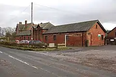 Myerscough College Farm | |
 Myerscough Shown within Wyre borough 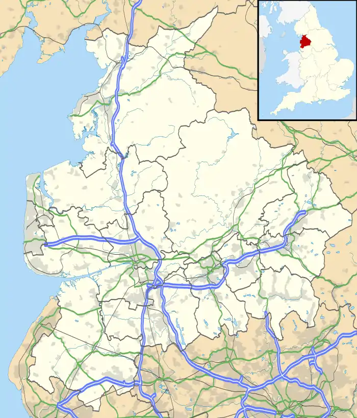 Myerscough Location within Lancashire | |
| Population | 1,111 (2001 census) |
| Civil parish | |
| District | |
| Shire county | |
| Region | |
| Country | England |
| Sovereign state | United Kingdom |
History
The name "Myerscough" means 'Bog wood',[5] the "myrr" part is pre 7th century old Norse for "marsh" and the "skogr" part means a "copse" or "thicket".[6] The surname derives from the hamlet.[7] Myerscough was not recorded in the Domesday Book but the township may have been the lost village of Aschebi. Myerscough was recorded as Mirscho in 1258, Miresco in 1265 and Mirescowe in 1297. It was possibly part of the forest of Amounderness.[8] Myerscough was a township in Lancaster parish.[9][10] From 1866 Myerscough was a civil parish in its own right until it was merged with Bilsborrow on 1 April 2003 to form "Myerscough and Bilsborrow".[11]
References
- "Myerscough Township Boundaries". GENUKI. Retrieved 14 June 2020.
- "Distance from Myerscough [53.845019, -2.764628]". GENUKI. Retrieved 13 June 2020.
- Neighbourhood Statistics
- "Local Area". Myerscough & Bilsborrow Parish Council. Retrieved 13 June 2020.
- "Myerscough Key to English Place-names". The University of Nottingham. Retrieved 13 June 2020.
- "Last name: Myerscough". Surname Database. Retrieved 13 June 2020.
- "History of the name". Myerscough One Name Study. Retrieved 13 June 2020.
- "Townships: Myerscough". British History Online. Retrieved 13 June 2020.
- "History of Myerscough, in Wyre and Lancashire". A Vision of Britain through Time. Retrieved 13 June 2020.
- "Myerscough". GENUKI. Retrieved 16 June 2020.
- "The Wyre (Parishes) Order 2003" (PDF). Local Government Boundary Commission for England. Retrieved 13 June 2020.
| Wikimedia Commons has media related to Myerscough. |