Nabih Saleh
Nabih Saleh (Arabic: النبيه صالح) is an island of Bahrain in the Persian Gulf. It lies in the Tubli Bay, east of Bahrain Island, and is 2.5 km (1.6 mi) south of the capital, Manama, on Bahrain Island.
| Native name: جزيرة النبيه صالح (Arabic) | |
|---|---|
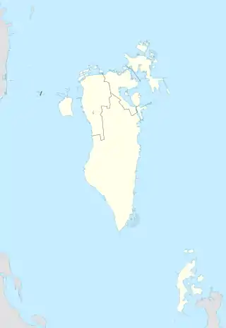 Nabih Saleh Island Location of Nabih Saleh Island in Bahrain | |
| Geography | |
| Location | Persian Gulf |
| Coordinates | 26.183°N 50.585°E |
| Archipelago | Bahrain |
| Adjacent bodies of water | Persian Gulf |
| Total islands | 1 |
| Major islands |
|
| Area | 1.4 km2 (0.54 sq mi) |
| Length | 1.4 km (0.87 mi) |
| Width | 1.2 km (0.75 mi) |
| Coastline | 9 km (5.6 mi) |
| Highest elevation | 3.5 m (11.5 ft) |
| Highest point | Nabih Saleh graveyard |
| Administration | |
| Governorate | Capital Governorate |
| Largest settlement | Nabih Saleh (pop. 3,150) |
| Demographics | |
| Demonym | Bahraini |
| Population | 3,200 (2019) |
| Pop. density | 2,300/km2 (6000/sq mi) |
| Ethnic groups | Bahraini, non-Bahraini |
| Additional information | |
| Time zone |
|
| ISO code | BH-14 |
| Official website | instagram |
History
The island is named for the formerly separate islands of Nebbi and Saleh.[1] Saleh was named for the Muslim scholar, Sheikh Saleh, who lived there in the 14th century.[2] This island originally, like Sitra, was covered with farms and date palm groves, but now it suffers from mass deforestation.[2][3] In 2016 renovation works began on the island [4][5]
Demography
There are three neighborhoods located on the Island: 1. Kaflan 2. Quryah 3. Juzayyirah (occupied by Bahrain Defence Force as officers club)
Administration
The island belongs to the Capital Governorate.
Transportation
It is connected to both Bahrain Island and Sitra through the Sitra Causeway.
Image gallery
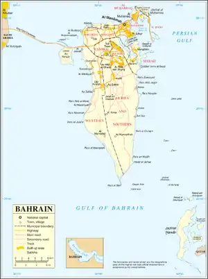 Map 1
Map 1 District Map
Notes
References
- Holdich, Thomas Hungerford (1911), , in Chisholm, Hugh (ed.), Encyclopædia Britannica, 3 (11th ed.), Cambridge University Press, p. 212.