Namlea
Namlea[3] is a town and kecamatan on the northeastern coast of the Indonesian island of Buru.[4] It is the capital of the Buru Regency.
Namlea | |
|---|---|
Town | |
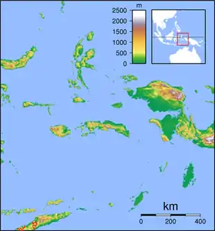 Namlea Location in the Maluku Islands of Indonesia | |
| Coordinates: 3°15′S 127°5′E | |
| Country | Indonesia |
| Province | Maluku |
| Regency | Buru |
| Area | |
| • Total | 951.15[1] km2 (Formatting error: invalid input when rounding sq mi) |
| Population (2010 Census) | |
| • Total | 37,105[2] |
| Time zone | UTC+9 (WIB) |
Climate
Namlea has a tropical savanna climate (Aw) with moderate to heavy rainfall from December to July and moderate to little rainfall from August to November. Due to strong rainshadow effect, it has the lowest rainfall in Buru island.
| Climate data for Namlea | |||||||||||||
|---|---|---|---|---|---|---|---|---|---|---|---|---|---|
| Month | Jan | Feb | Mar | Apr | May | Jun | Jul | Aug | Sep | Oct | Nov | Dec | Year |
| Average high °C (°F) | 30.8 (87.4) |
30.8 (87.4) |
30.8 (87.4) |
30.4 (86.7) |
29.6 (85.3) |
29.1 (84.4) |
28.1 (82.6) |
28.4 (83.1) |
29.4 (84.9) |
30.1 (86.2) |
31.4 (88.5) |
31.0 (87.8) |
30.0 (86.0) |
| Daily mean °C (°F) | 27.3 (81.1) |
27.2 (81.0) |
27.3 (81.1) |
27.1 (80.8) |
26.6 (79.9) |
26.4 (79.5) |
25.6 (78.1) |
25.7 (78.3) |
26.2 (79.2) |
26.5 (79.7) |
27.7 (81.9) |
27.4 (81.3) |
26.7 (80.2) |
| Average low °C (°F) | 23.8 (74.8) |
23.7 (74.7) |
23.8 (74.8) |
23.8 (74.8) |
23.7 (74.7) |
23.7 (74.7) |
23.2 (73.8) |
23.0 (73.4) |
23.0 (73.4) |
22.9 (73.2) |
24.0 (75.2) |
23.8 (74.8) |
23.5 (74.4) |
| Average rainfall mm (inches) | 194 (7.6) |
145 (5.7) |
141 (5.6) |
84 (3.3) |
100 (3.9) |
124 (4.9) |
149 (5.9) |
33 (1.3) |
36 (1.4) |
29 (1.1) |
86 (3.4) |
136 (5.4) |
1,257 (49.5) |
| Source: Climate-Data.org[5] | |||||||||||||
References
- Karakteristik Daerah Kabupaten Buru
- Jumlah Penduduk Kabupaten Buru Hasil Sensus Penduduk 2010
- Profil Kecamatan Namlea
- "Seram Island (map)". Indonesiatravelingguide.com. Retrieved 8 June 2015.
- "Climate: Namlea". Climate-Data.org. Retrieved 23 November 2020.
This article is issued from Wikipedia. The text is licensed under Creative Commons - Attribution - Sharealike. Additional terms may apply for the media files.
