Newthorpe, North Yorkshire
Newthorpe is a mainly rural area lying alongside the B1222 road to the west of Sherburn in Elmet village and stretching across to the A1(M) Motorway in the English county of North Yorkshire.[1]
| Newthorpe | |
|---|---|
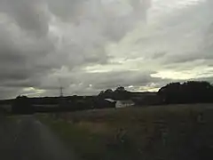 View of Newthorpe from Gorse Lane | |
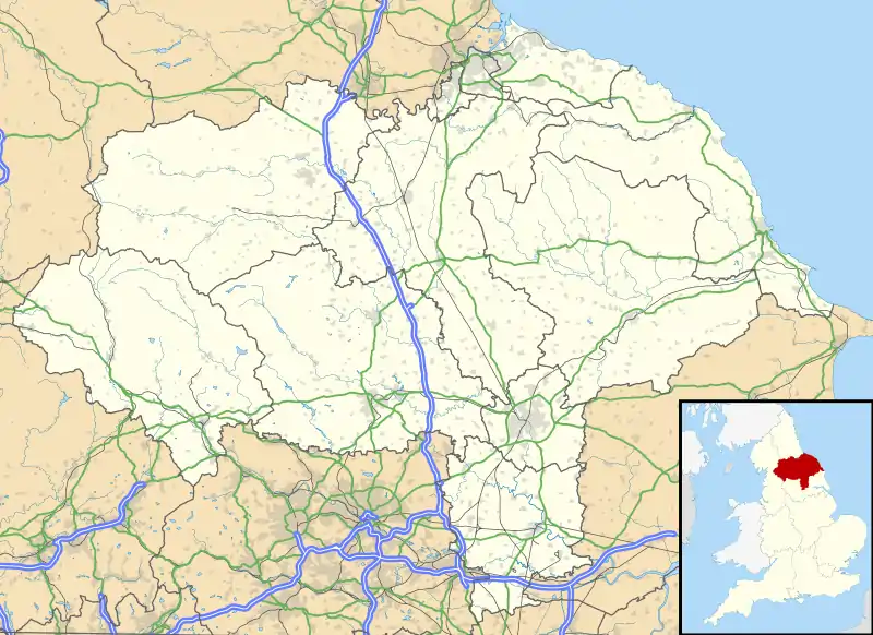 Newthorpe Location within North Yorkshire | |
| OS grid reference | SE468322 |
| Civil parish |
|
| District | |
| Shire county | |
| Region | |
| Country | England |
| Sovereign state | United Kingdom |
| Post town | LEEDS |
| Postcode district | LS25 |
| Police | North Yorkshire |
| Fire | North Yorkshire |
| Ambulance | Yorkshire |
| UK Parliament | |
It is part of the civil parish of Huddleston with Newthorpe that forms part of the district of Selby.[1]
The village was historically part of the West Riding of Yorkshire until 1974.[2]
References
- Huddleston with Newthorpe Google Maps. Retrieved 12 February 2019
- "History of Newthorpe, in Selby and West Riding | Map and description". www.visionofbritain.org.uk. Retrieved 25 November 2020.
External links
![]() Media related to Newthorpe, North Yorkshire at Wikimedia Commons
Media related to Newthorpe, North Yorkshire at Wikimedia Commons
- Map sources for Newthorpe, North Yorkshire
This article is issued from Wikipedia. The text is licensed under Creative Commons - Attribution - Sharealike. Additional terms may apply for the media files.