Newton Grange, Derbyshire
Newton Grange is a civil parish in the Derbyshire Dales district of central Derbyshire. For administrative purposes it shares a parish council with the neighbouring parish of Eaton and Alsop. When the parish council was instituted in its present form in 1974, the parish contained eight farms (one of which gives the parish its name) and four dwellings.[1] The western boundary of the parish is the River Dove, including the eastern side of part of Dovedale.[2]
| Newton Grange | |
|---|---|
 Newton Grange farm | |
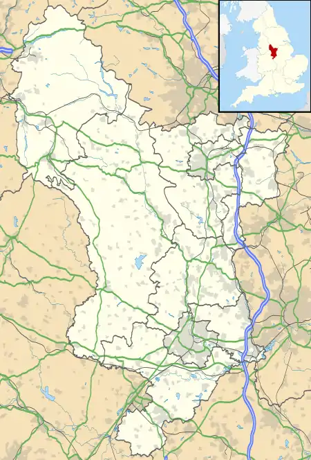
 Newton Grange Location within Derbyshire | |
| OS grid reference | SK1653 |
| District | |
| Shire county | |
| Region | |
| Country | England |
| Sovereign state | United Kingdom |
| Post town | Bakewell |
| Postcode district | DE6 |
| Police | Derbyshire |
| Fire | Derbyshire |
| Ambulance | East Midlands |
| UK Parliament | |
References
- "Welcome to Eaton & Alsop & Newton Grange Parish Council". Eaton & Alsop & Newton Grange Parish Council. Retrieved 9 August 2020.
- OL24 White Peak area (Map). 1:25000. Explorer. Ordnance Survey.
| Wikimedia Commons has media related to Newton Grange. |
This article is issued from Wikipedia. The text is licensed under Creative Commons - Attribution - Sharealike. Additional terms may apply for the media files.
