Niagadina
Niagadina is a village and rural commune in the Cercle of Kati in the Koulikoro Region of south-western Mali. The commune has an area of 87 square kilometers and includes five villages.[3] The administrative center is the village of Niagadina which lies on the right bank of the Niger River, 72 km southwest of Bamako, the Malian capital. In the 2009 census the commune had a population of 11,961.[2]
Niagadina | |
|---|---|
Commune and village | |
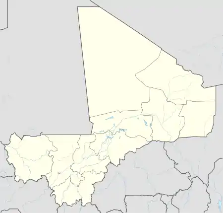 Niagadina Location in Mali | |
| Coordinates: 12°8′0″N 8°13′55″W | |
| Country | |
| Region | Koulikoro Region |
| Cercle | Kati Cercle |
| Area | |
| • Total | 87 km2 (34 sq mi) |
| Population (2009 census)[2] | |
| • Total | 11,961 |
| • Density | 140/km2 (360/sq mi) |
| Time zone | UTC+0 (GMT) |
References
- Common and Fundamental Operational Datasets Registry: Mali, United Nations Office for the Coordination of Humanitarian Affairs, archived from the original on 2012-12-14, retrieved 2012-07-04. commune_mali.zip (Originally from the Direction Nationale des Collectivités Territoriales, Mali)
- Resultats Recensement Général de la Population et de l’Habitat 2009 (Région de Koulikoro) (PDF) (in French), République de Mali: Institut National de la Statistique.
- Communes de la Région de Koulikoro (PDF) (in French), Ministère de l’administration territoriale et des collectivités locales, République du Mali, archived from the original (PDF) on 2012-03-09.
External links
- Plan de Sécurité Alimentaire Commune Rurale de Niagadina 2008-2012 (PDF) (in French), Commissariat à la Sécurité Alimentaire, République du Mali, USAID-Mali, 2008, archived from the original (PDF) on 2012-09-17, retrieved 2012-07-04.

This article is issued from Wikipedia. The text is licensed under Creative Commons - Attribution - Sharealike. Additional terms may apply for the media files.
