Nzérékoré Airport
Nzérékoré Airport (IATA: NZE, ICAO: GUNZ) is an airport serving Nzérékoré in Guinea. The airport is in the countryside, 12 kilometres (7.5 mi) northeast of the city.
Nzérékoré Airport | |||||||||||
|---|---|---|---|---|---|---|---|---|---|---|---|
| Summary | |||||||||||
| Airport type | Public | ||||||||||
| Serves | Nzérékoré, Guinea | ||||||||||
| Elevation AMSL | 1,657 ft / 505 m | ||||||||||
| Coordinates | 7°48′50″N 8°42′10″W | ||||||||||
| Map | |||||||||||
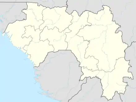 NZE Location of the airport in Guinea | |||||||||||
| Runways | |||||||||||
| |||||||||||
The Nzerekore (non-directional beacon) (Ident: NZ) is located just west of the airport. The Man VOR-DME (Ident: MAN) is located in Ivory Coast, 74 nautical miles (137 km) east-southeast of the airport.[4][3]
See also
 Guinea portal
 Aviation portal
- Transport in Guinea
- List of airports in Guinea
References
- Airport information for Nzérékoré Airport at Great Circle Mapper.
- Google Map - Nzérékoré
- "Nzerekore Konia Airport". SkyVector. Retrieved 15 December 2018.
- "Nzerekore NDB". Our Airports. Retrieved 15 December 2018.
External links
- OpenStreetMap - Nzérékoré
- OurAirports - Nzérékoré
- FallingRain - Nzérékoré Airport
- Accident history for Nzérékoré Airport at Aviation Safety Network
- Google Earth
This article is issued from Wikipedia. The text is licensed under Creative Commons - Attribution - Sharealike. Additional terms may apply for the media files.