Ottawa, Oklahoma
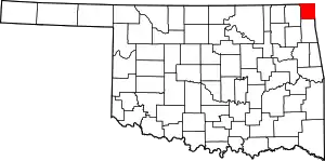
Ottawa is an unincorporated place in Ottawa County, Oklahoma, United States. It is located along State Highway 137 in the central part of the county, approximately five miles east of Miami.[2]
Ottawa | |
|---|---|
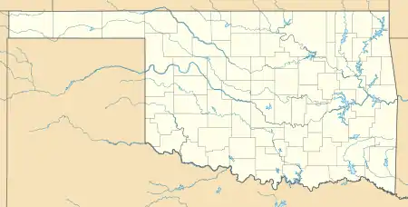
 Ottawa Location within the state of Oklahoma  Ottawa Ottawa (the United States) | |
| Coordinates: 36°51′24″N 94°47′16″W | |
| Country | United States |
| State | Oklahoma |
| County | Ottawa |
| Elevation | 906 ft (276 m) |
| Time zone | UTC-6 (Central (CST)) |
| • Summer (DST) | UTC-5 (CDT) |
| GNIS feature ID | 1100712[1] |
The Spring River flows past 1.5 miles east of the community and the Neosho River is about two miles to the southwest. The Twin Bridges State Park on the Grand Lake o' the Cherokees is four miles south along Route 137.[3]
References
- U.S. Geological Survey Geographic Names Information System: Ottawa, Oklahoma
- Oklahoma Atlas and Gazetteer (Map). 1:200,000. DeLorme. 2006. p. 27. § C7.
- Miami SE, OK, 7.5 Minute Topographic Quadrangle, USGS, 1961 (1982 rev.)
This article is issued from Wikipedia. The text is licensed under Creative Commons - Attribution - Sharealike. Additional terms may apply for the media files.
