Owyhee Airport
Owyhee Airport (FAA LID: 1ØU) is a public use airport located 4 nautical miles (4.6 mi; 7.4 km) west of the central business district of Owyhee, in Elko County, Nevada, United States.[1] It is owned by the Shoshone-Paiute Tribes[1] and is located within the Duck Valley Indian Reservation.
Owyhee Airport | |||||||||||
|---|---|---|---|---|---|---|---|---|---|---|---|
| Summary | |||||||||||
| Airport type | Public | ||||||||||
| Owner | Shoshone-Paiute Tribes | ||||||||||
| Serves | Owyhee, Nevada | ||||||||||
| Elevation AMSL | 5,377 ft / 1,639 m | ||||||||||
| Coordinates | 41°57′13″N 116°10′55″W | ||||||||||
| Map | |||||||||||
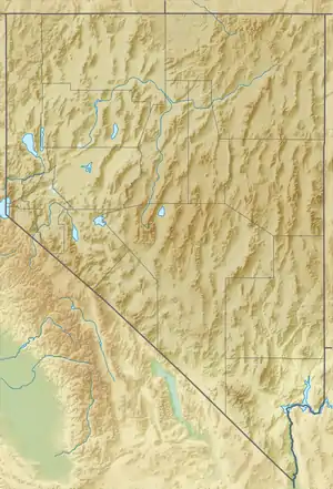 1ØU Location of airport in Nevada | |||||||||||
| Runways | |||||||||||
| |||||||||||
| Statistics (2012) | |||||||||||
| |||||||||||
The National Plan of Integrated Airport Systems for 2011–2015 categorized it as a general aviation facility.[2]
History
The airport was built by the United States Army Air Forces about 1942, and was known as Owyhee Flight Strip. It was an emergency landing airfield for military aircraft on training flights. It was closed after World War II, and was turned over for local government use by the War Assets Administration (WAA).[3][4]
Facilities and aircraft
Owyhee Airport covers an area of 135 acres (55 ha) at an elevation of 5,377 feet (1,639 m) above mean sea level. It has one runway designated 5/23 with an asphalt surface measuring 4,700 by 60 feet (1,433 by 18 m).[1] For the 12-month period ending June 30, 2012, the airport had 50 general aviation aircraft operations, an average of 4 per month.[1]
References
- FAA Airport Form 5010 for 10U PDF. Federal Aviation Administration. Effective November 15, 2012.
- "2011–2015 NPIAS Report, Appendix A" (PDF, 2.03 MB). National Plan of Integrated Airport Systems. Federal Aviation Administration. October 4, 2010.
-
 This article incorporates public domain material from the Air Force Historical Research Agency website http://www.afhra.af.mil/.
 - Shaw, Frederick J. (2004), Locating Air Force Base Sites History’s Legacy, Air Force History and Museums Program, United States Air Force, Washington DC, 2004.
External links
- "Diagram of Owyhee Airport (1ØU)" (PDF). Archived from the original (PDF) on 2016-03-04. from Nevada DOT
- Aerial image as of June 1994 from USGS The National Map
- Resources for this airport:
- FAA airport information for 10U
- AirNav airport information for 10U
- FlightAware airport information and live flight tracker
- SkyVector aeronautical chart for 10U