Pačir
Pačir (Serbian: Пачир, romanized: Pačir: Hungarian: Pacsér, Croatian: Pačir) is a village located in the municipality of Bačka Topola, Serbia. As of 2011 census, the village has 2,580 inhabitants, with Hungarians having the ethnic majority.
Pačir
| |
|---|---|
 Main street and the Catholic Church | |
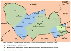 Map of the Bačka Topola municipality showing the location of Pačir | |
 Pačir Map of the Bačka Topola municipality showing the location of Pačir | |
| Coordinates: 45°54′N 19°26′E | |
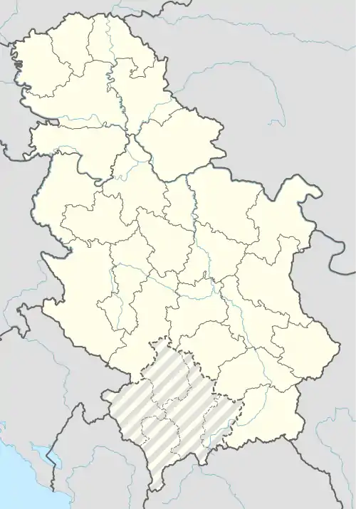
| Country | |
| Province | |
| Area | |
| • Total | 77.82 km2 (30.05 sq mi) |
| Elevation | 114 m (374 ft) |
| Population (2011)[2] | |
| • Total | 2,580 |
| • Density | 33/km2 (86/sq mi) |
| Time zone | UTC+1 (CET) |
| • Summer (DST) | UTC+2 (CEST) |
Demographics
| Year | Pop. | ±% p.a. |
|---|---|---|
| 1948 | 4,907 | — |
| 1953 | 4,806 | −0.42% |
| 1961 | 4,754 | −0.14% |
| 1971 | 4,189 | −1.26% |
| 1981 | 3,871 | −0.79% |
| 1991 | 3,309 | −1.56% |
| 2002 | 2,948 | −1.04% |
| 2011 | 2,580 | −1.47% |
| Source: [3] | ||

Pacir place-name sign
As of 2011 census, the village of Pačir has 2,580 inhabitants.
See also
- List of places in Serbia
- List of cities, towns and villages in Vojvodina
References
- "Насеља општине Бачка Топола" (PDF). stat.gov.rs (in Serbian). Retrieved 15 August 2020.
- "2011 Census of Population, Households and Dwellings in the Republic of Serbia: Comparative Overview of the Number of Population in 1948, 1953, 1961, 1971, 1981, 1991, 2002 and 2011, Data by settlements" (PDF). Statistical Office of Republic Of Serbia, Belgrade. 2014. ISBN 978-86-6161-109-4. Retrieved 2014-06-27.
- "2011 Census of Population, Households and Dwellings in the Republic of Serbia" (PDF). stat.gov.rs. Statistical Office of the Republic of Serbia. Retrieved 15 August 2020.
- Slobodan Ćurčić, Broj stanovnika Vojvodine, Novi Sad, 1996.
External links
| Wikimedia Commons has media related to Pačir. |
- Official website
- History of Pačir (in Hungarian)
Cities, towns and villages in the North Bačka District | ||
|---|---|---|
| Subotica | 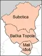 | |
| Bačka Topola | ||
| Mali Iđoš | ||
(*) bold are municipalities or cities | ||
This article is issued from Wikipedia. The text is licensed under Creative Commons - Attribution - Sharealike. Additional terms may apply for the media files.