Pangururan
Pangururan is a town and a district of the same name in North Sumatra province of Indonesia and it is the seat (capital) of Samosir Regency, and the largest town on Samosir Island. Its population is 29,412.[1]:277–278
Pangururan | |
|---|---|
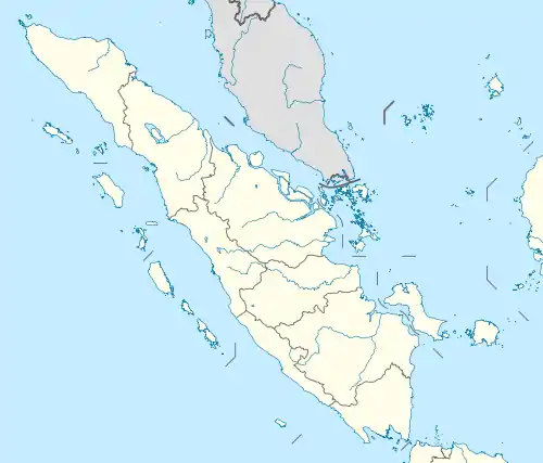 Pangururan Location in North Sumatra and Indonesia  Pangururan Pangururan (Indonesia) | |
| Coordinates: 2°36′26.8416″N 98°41′45.3588″E | |
| Country | |
| Province | North Sumatra |
| Regency | Samosir Regency |
| District | Pangururan District |
| Elevation | 4,062 ft (1,238 m) |
| Population (2010) | |
| • Total | 29,412[1] |
| Time zone | UTC+7 (Indonesia Western Standard Time) |
Climate
Pangururan has a cool tropical rainforest climate (Af) due to altitude with moderate rainfall from June to August and heavy rainfall in the remaining months.
| Climate data for Pangururan | |||||||||||||
|---|---|---|---|---|---|---|---|---|---|---|---|---|---|
| Month | Jan | Feb | Mar | Apr | May | Jun | Jul | Aug | Sep | Oct | Nov | Dec | Year |
| Average high °C (°F) | 25.2 (77.4) |
25.6 (78.1) |
25.6 (78.1) |
25.5 (77.9) |
25.5 (77.9) |
25.2 (77.4) |
25.0 (77.0) |
24.7 (76.5) |
24.5 (76.1) |
24.2 (75.6) |
24.3 (75.7) |
24.7 (76.5) |
25.0 (77.0) |
| Daily mean °C (°F) | 19.9 (67.8) |
20.1 (68.2) |
20.2 (68.4) |
20.4 (68.7) |
20.3 (68.5) |
19.9 (67.8) |
19.7 (67.5) |
19.5 (67.1) |
19.6 (67.3) |
19.6 (67.3) |
19.7 (67.5) |
19.8 (67.6) |
19.9 (67.8) |
| Average low °C (°F) | 14.7 (58.5) |
14.6 (58.3) |
14.9 (58.8) |
15.3 (59.5) |
15.2 (59.4) |
14.7 (58.5) |
14.4 (57.9) |
14.4 (57.9) |
14.8 (58.6) |
15.1 (59.2) |
15.2 (59.4) |
15.0 (59.0) |
14.9 (58.8) |
| Average precipitation mm (inches) | 194 (7.6) |
159 (6.3) |
209 (8.2) |
211 (8.3) |
152 (6.0) |
95 (3.7) |
81 (3.2) |
113 (4.4) |
180 (7.1) |
231 (9.1) |
233 (9.2) |
223 (8.8) |
2,081 (81.9) |
| Source: Climate-Data.org[2] | |||||||||||||
References
- "Population of Indonesia by Village: Result of 2010 Population Census" (PDF). Statistics Indonesia. Archived from the original (PDF) on 6 April 2013. Retrieved 2020-07-23.
- "Climate: Pangururan". Climate-Data.org. Retrieved August 4, 2020.
| Wikimedia Commons has media related to Pangururan. |
This article is issued from Wikipedia. The text is licensed under Creative Commons - Attribution - Sharealike. Additional terms may apply for the media files.
