Pine River (Rhode Island)
The Pine River is a river in the U.S. state of Rhode Island.[1] It flows approximately 8 km (5 mi). There are no dams along the river's length.
| Pine River | |
|---|---|
 | |
| Physical characteristics | |
| Source | |
| • coordinates | 41.6144444°N 71.4375°W |
| Mouth | |
• coordinates | 41.6092679°N 71.4439459°W |
Course
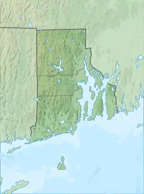
The river rises in the swamps near the U.S. Naval Reservation in North Kingstown, near Devil's Foot Road. The river continues due east to its confluence with Narragansett Bay at Quonset Point. The last mile of the river is almost entirely buried under the Naval Reservation at Quonset Point. During this last mile, the river provides water to Davol Pond.
Crossings
Below is a list of all crossings over the Pine River. The list starts at the headwaters and goes downstream.
- North Kingstown
- Navy Drive
- Devil's Foot Road (RI 403)
- Namcook Road
- Post Road (U.S. 1)
- Newcomb Road (from here the river goes into a tunnel underneath the Naval Reservation at Quonset Point)
Tributaries
The Pine River has no named tributaries, though there are many unnamed streams that also feed it.
This article is issued from Wikipedia. The text is licensed under Creative Commons - Attribution - Sharealike. Additional terms may apply for the media files.