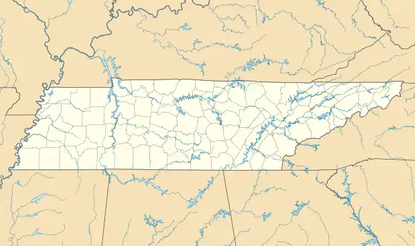
Pocahontas, Tennessee
Pocahontas is an unincorporated community in Hardeman and McNairy counties, Tennessee, United States.[1] It is eighty-three miles southeast of Memphis.
Pocahontas, Tennessee | |
|---|---|
 | |
 Pocahontas  Pocahontas | |
| Coordinates: 35°03′09″N 88°48′13″W | |
| Country | United States |
| State | Tennessee |
| County | Hardeman |
| Elevation | 394 ft (120 m) |
| Time zone | UTC-6 (Central (CST)) |
| • Summer (DST) | UTC-5 (CDT) |
| ZIP code | 38061 |
| Area code(s) | 731 |
| GNIS feature ID | 1297992[1] |
Pocahontas is a postal city with ZIP code 38061.[2] Big Hill Pond State Park is nearby.[3]
History
The community originated in 1828 as a settlement known as Ray's Bluff, located at the confluence of the Hatchie and Tuscumbia Rivers. After a stagecoach line began service in the region, the settlers moved their village to a site on the stage route, on Matamora Hill. A large hotel and several homes were built in Matamora before 1845. In 1848, the community moved to its present site, to locate along the new Memphis and Charleston Railroad line, which crossed the area about 2 miles (3.2 km) north of Matamora Hill.[3]
Pocahontas was the site of the Civil War Battle of Davis Bridge.[3]
Notes
- "Pocahontas, Hardeman County, Tennessee". Geographic Names Information System. United States Geological Survey.
- United States Postal Service (2012). "USPS - Look Up a ZIP Code". Retrieved 2012-02-15.
- "Pocahontas". Hardeman County Chamber of Commerce. Retrieved June 7, 2014.