Podbara
Podbara (Serbian: Подбара) is an urban neighborhood of the city of Novi Sad, Serbia.
Podbara
Подбара | |
|---|---|
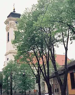 Podbara, Almaška Orthodox church | |
| Country | |
| Province | Vojvodina |
| District | South Bačka |
| Municipality | Novi Sad |
| Area | |
| • Total | 0.86 km2 (0.33 sq mi) |
| Time zone | UTC+1 (CET) |
| • Summer (DST) | UTC+2 (CEST) |
| Area code | +381(0)21 |
| Car plates | NS |
Borders
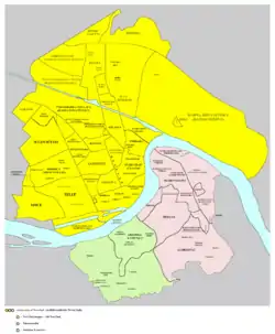
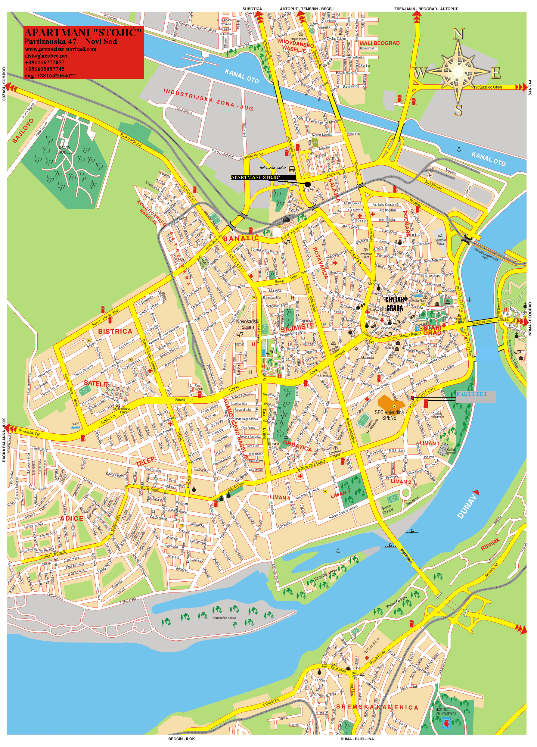
The southern borders of Podbara are Ulica Miloša Bajića (Miloš Bajić Street), Trg Republike (Square of the Republic), Daničićeva ulica (Daničić Street), Ulica Zlatne grede (Zlatna Greda Street), Pašićeva ulica (Pašić Street), Ulica Matice srpske (Matica Srpska Street), Sterijina ulica (Sterija Street), and Ulica Hadžić Svetića (Hadžić Svetić Street), the western border is Temerinska ulica (Temerin Street), the northern border is Danube-Tisa-Danube channel, and the eastern border is Danube river.
Neighbouring city quarters
The neighbouring city quarters are: Stari Grad in the south, and Salajka in the west.
Features
The industrial zone known as the Radna Zona Sever 3 is located in the north of Podbara. Almaška Church, an Orthodox church built in 1797 is situated in Podbara.
Gallery
 Podbara, Almaški Kraj
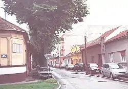
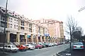 Podbara, Kosovska Street
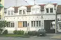 Adventist gymnasium "Živorad Janković"
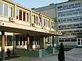 Traffic school "Pinki"
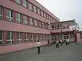 Elementary school "Ivan Gundulić"
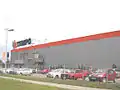 "Tempo" supermarket
See also
- Neighborhoods of Novi Sad
References
- Jovan Mirosavljević, Brevijar ulica Novog Sada 1745-2001, Novi Sad, 2002.
- Zoran Rapajić, Novi Sad bez tajni, Beograd, 2002.
- Milorad Grujić, Vodič kroz Novi Sad i okolinu, Novi Sad, 2004.
External links
| Wikimedia Commons has media related to Podbara. |