Pono River
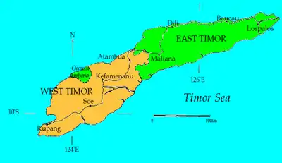
Pono River (Indonesian: Sungai Noel Ponu; Sungai Pono) is a river on the Indonesian part of the island of Timor, so-called West Timor, which is in the territory of the East Nusa Tenggara province,[1] about 2000 km east of the Indonesian capital, Jakarta.[2]
| Pono River Sungai Noel Ponu, Sungai Pono, Pono Rivier, Noil Ponoe, Noil Ponu, Noë Ponoe | |
|---|---|
 Location of river mouth 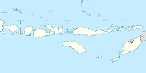 Pono River (Lesser Sunda Islands)  Pono River (Indonesia) | |
| Location | |
| Country | Indonesia |
| Physical characteristics | |
| Source | |
| • location | Timor |
| Mouth | Sawu Sea |
• location | Atambua |
• coordinates | 9.12111°S 124.66972°E |
History
On November 4, 2010, the river overflowed, killing some 16 people and destroying 134 homes,a and 825 people were displaced from their homes.[1]
Geography
| Noel Ponu | ||||||||||||||||||||||||||||||||||||||||||||||||||||||||||||
|---|---|---|---|---|---|---|---|---|---|---|---|---|---|---|---|---|---|---|---|---|---|---|---|---|---|---|---|---|---|---|---|---|---|---|---|---|---|---|---|---|---|---|---|---|---|---|---|---|---|---|---|---|---|---|---|---|---|---|---|---|
| Climate chart (explanation) | ||||||||||||||||||||||||||||||||||||||||||||||||||||||||||||
| ||||||||||||||||||||||||||||||||||||||||||||||||||||||||||||
| ||||||||||||||||||||||||||||||||||||||||||||||||||||||||||||
The river flows in the southwest of Timor with predominantly tropical savanna climate (designated as Aw in the Köppen-Geiger climate classification).[4] The annual average temperature in the area is 25 °C. The warmest month is October, when the average temperature is around 28 °C, and the coldest is February, at 22 °C.[3] The average annual rainfall is 1575 mm. The wettest month is January, with an average of 297 mm, and the driest is September, with 6 mm rainfall.[5]
See also
References
- "Archived copy". Archived from the original on January 2, 2011. Retrieved June 18, 2011.CS1 maint: archived copy as title (link) Jakarta Post
- Noel Ponu at Geonames.org (cc-by); Last updated January 17, 2012; Database dump downloaded November 27, 2015
- "NASA Earth Observations Data Set Index". NASA. January 30, 2016.
- Peel, M C; Finlayson, B L; McMahon, T A (2007). "Updated world map of the Köppen-Geiger climate classification". Hydrology and Earth System Sciences. 11. doi:10.5194/hess-11-1633-2007.
- "NASA Earth Observations: Rainfall (1 month – TRMM)". NASA/Tropical Rainfall Monitoring Mission. January 30, 2016.