Puerto Jiménez
Puerto Jiménez is a district of the Golfito canton, in the Puntarenas province of Costa Rica.[1][2] It is also the largest town on the Osa Peninsula, Puntarenas Province, Costa Rica. The town is located on the Golfo Dulce near the Corcovado National Park. Also near the town is the Golfo Dulce Forest Reserve, where sightings of scarlet macaws, toucans and trogóns are common.[3]
Puerto Jiménez | |
|---|---|
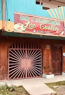
 A restaurant in Puerto Jiménez | |

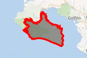
Puerto Jiménez district | |
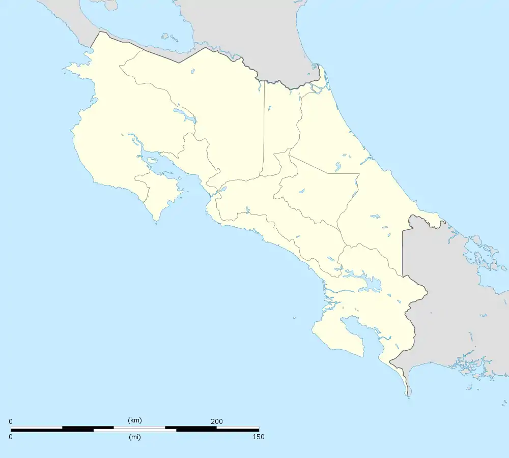
 Puerto Jiménez Puerto Jiménez district location in Costa Rica | |
| Coordinates: 8.5337766°N 83.4609779°W | |
| Country | |
| Province | Puntarenas |
| Canton | Golfito |
| Government | |
| • Syndic | Rafael Ángel Godínez Muñoz (PLN) |
| • Substitute syndic | Teresa Gardela Argüello (PLN) |
| Area | |
| • Total | 722.56 km2 (278.98 sq mi) |
| Elevation | 2 m (7 ft) |
| Population (2011) | |
| • Total | 8,789 |
| • Density | 12/km2 (32/sq mi) |
| Time zone | UTC−06:00 |
| Postal code | 60702 |
Demographics
| Historical population | |||
|---|---|---|---|
| Census | Pop. | %± | |
| 1950 | 1,173 | — | |
| 1963 | 1,578 | 34.5% | |
| 1973 | 2,231 | 41.4% | |
| 1984 | 4,766 | 113.6% | |
| 2000 | 6,102 | 28.0% | |
| 2011 | 8,789 | 44.0% | |
|
Instituto Nacional de Estadística y Censos[5] |
|||
For the 2011 census, Puerto Jiménez had a population of 8,789 inhabitants. [7]
Transportation
Airport
The town is served by the Puerto Jiménez Airport. It is the third-busiest airport in Costa Rica, with 35,745 passengers in 2014.[8]
Economy
During the 1960s, Puerto Jiménez was a haven for gold mining and logging. Today it is a popular tourist destination due to its proximity to the national park, and has an active nightlife with several bars and restaurants.[3] The town also boasts a supermarket, several clothing and shoe stores, a bakery, an art gallery, and several other shops. There are several hotels and hostels in Puerto Jiménez, including Lunas Hostel, Cabinas Jimenez, and Crocodile Bay Resort.[9]
External links
References
- "Declara oficial para efectos administrativos, la aprobación de la División Territorial Administrativa de la República N°41548-MGP". Sistema Costarricense de Información Jurídica (in Spanish). 19 March 2019. Retrieved 26 September 2020.
- División Territorial Administrativa de la República de Costa Rica (PDF) (in Spanish). Editorial Digital de la Imprenta Nacional. 8 March 2017. ISBN 978-9977-58-477-5.
- "Puerto Jiménez, South Puntarenas". GoVisitCostaRica.com. Retrieved August 10, 2018.
- "Área en kilómetros cuadrados, según provincia, cantón y distrito administrativo". Instituto Nacional de Estadística y Censos (in Spanish). Retrieved 26 September 2020.
- "Instituto Nacional de Estadística y Censos" (in Spanish).
- "Sistema de Consulta de a Bases de Datos Estadísticas". Centro Centroamericano de Población (in Spanish).
- "Censo. 2011. Población total por zona y sexo, según provincia, cantón y distrito". Instituto Nacional de Estadística y Censos (in Spanish). Retrieved 26 September 2020.
- DGAC Yearbook 2014 Archived 2016-03-04 at the Wayback Machine
- Ronner, Abby. "Puerto Jimenez: Where the Junge is Your Backyard". Blue Osa. Retrieved August 10, 2018.