Ransiki
Ransiki (Indonesian: Ransiki) is a town in Indonesia province of West Papua, at the western end of New Guinea.[1] The town is the administrative seat of the South Manokwari Regency. In 2010, there were 7,683 people in Ransiki.[2] The town is served by Ransiki Airport.[3]
Ransiki
Indonesian: Ransiki | |
|---|---|
 Ransiki 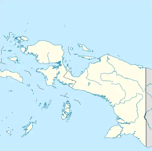 Ransiki Ransiki (Western New Guinea)  Ransiki Ransiki (Indonesia) | |
| Coordinates: 1°30′S 134°10′E | |
| Country | |
| Region | Western New Guinea |
| Province | |
| Regency | South Manokwari Regency |
| Elevation | 40 m (130 ft) |
| Population (2010) | |
| • Metro | 7,683 |
| Time zone | UTC+7 (Indonesia Eastern Time) |
History
During World War II a ship sank off the Ransiki coastline.
Climate
Ransiki has a tropical rainforest climate (Af) with moderate to heavy rainfall year-round.
| Climate data for Ransiki | |||||||||||||
|---|---|---|---|---|---|---|---|---|---|---|---|---|---|
| Month | Jan | Feb | Mar | Apr | May | Jun | Jul | Aug | Sep | Oct | Nov | Dec | Year |
| Average high °C (°F) | 30.9 (87.6) |
30.7 (87.3) |
30.6 (87.1) |
30.8 (87.4) |
30.8 (87.4) |
30.3 (86.5) |
30.0 (86.0) |
29.9 (85.8) |
30.4 (86.7) |
31.0 (87.8) |
31.3 (88.3) |
31.2 (88.2) |
30.7 (87.2) |
| Daily mean °C (°F) | 26.9 (80.4) |
26.9 (80.4) |
26.9 (80.4) |
27.0 (80.6) |
27.0 (80.6) |
26.6 (79.9) |
26.4 (79.5) |
26.3 (79.3) |
26.6 (79.9) |
26.9 (80.4) |
27.3 (81.1) |
27.2 (81.0) |
26.8 (80.3) |
| Average low °C (°F) | 23.0 (73.4) |
23.2 (73.8) |
23.3 (73.9) |
23.3 (73.9) |
23.3 (73.9) |
23.0 (73.4) |
22.8 (73.0) |
22.7 (72.9) |
22.8 (73.0) |
22.9 (73.2) |
23.3 (73.9) |
23.2 (73.8) |
23.1 (73.5) |
| Average rainfall mm (inches) | 160 (6.3) |
152 (6.0) |
142 (5.6) |
149 (5.9) |
111 (4.4) |
128 (5.0) |
115 (4.5) |
107 (4.2) |
100 (3.9) |
96 (3.8) |
110 (4.3) |
136 (5.4) |
1,506 (59.3) |
| Source: Climate-Data.org[4] | |||||||||||||
References
- Family Reference Atlas of the World (Second Edition). National Geographic. p. 189.
- Biro Pusat Statistik, Jakarta, 2011.
- Ransiki airport (Ransiki)
- "Climate: Ransiki". Climate-Data.org. Retrieved 24 November 2020.
This article is issued from Wikipedia. The text is licensed under Creative Commons - Attribution - Sharealike. Additional terms may apply for the media files.
