Rit'i Apachita
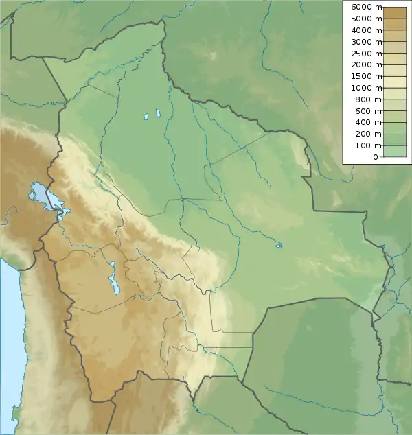
Rit'i Apachita (Quechua, rit'i snow, Aymara and Quechua apachita the place of transit of an important pass in the principal routes of the Andes; name in the Andes for a stone cairn, a little pile of rocks built along the trail in the high mountains,[2][3][4] Hispanicized spelling Riti Apacheta) is a 5,029-metre-high (16,499 ft) mountain in the Apolobamba mountain range in Bolivia. It is situated in the La Paz Department, Franz Tamayo Province, Pelechuco Municipality, north-west of Pelechuco. Rit'i Apachita lies northeast of the mountain Sural (Soral) and southeast of the mountain Apachita Pura Pura.
| Rit'i Apachita | |
|---|---|
 Rit'i Apachita Location in Bolivia | |
| Highest point | |
| Elevation | 5,029 m (16,499 ft) [1] |
| Coordinates | 14°44′39″S 69°7′02″W |
| Geography | |
| Location | Bolivia, La Paz Department, Franz Tamayo Province, Pelechuco Municipality |
| Parent range | Andes, Apolobamba |
There is a little lake east of the mountain named Q'illuqucha (Quechua for "yellow lake", Quellucocha).[1][5]
References
- BIGM map 1:50,000 3041 Pelechuco (unnamed, 5029)
- Teofilo Laime Ajacopa, Diccionario Bilingüe Iskay simipi yuyayk'ancha, La Paz, 2007 (Quechua-Spanish dictionary)
- Radio San Gabriel, "Instituto Radiofonico de Promoción Aymara" (IRPA) 1993, Republicado por Instituto de las Lenguas y Literaturas Andinas-Amazónicas (ILLLA-A) 2011, Transcripción del Vocabulario de la Lengua Aymara, P. Ludovico Bertonio 1612 (Spanish-Aymara-Aymara-Spanish dictionary)
- http://www.illa-a.org/cd/diccionarios/DicAymaraMinEduPeru.odt (Aymara-Spanish dictionary)
- "Pelechuco". ine.gob.bo. Retrieved August 30, 2014.
This article is issued from Wikipedia. The text is licensed under Creative Commons - Attribution - Sharealike. Additional terms may apply for the media files.