Rock, Worcestershire
Rock is a village and civil parish in the Wyre Forest District of Worcestershire, England, which lies south-west of Bewdley. It had a population of 2,366 in 2001.[1]
| Rock | |
|---|---|
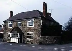 The Rock Cross Inn, Rock | |
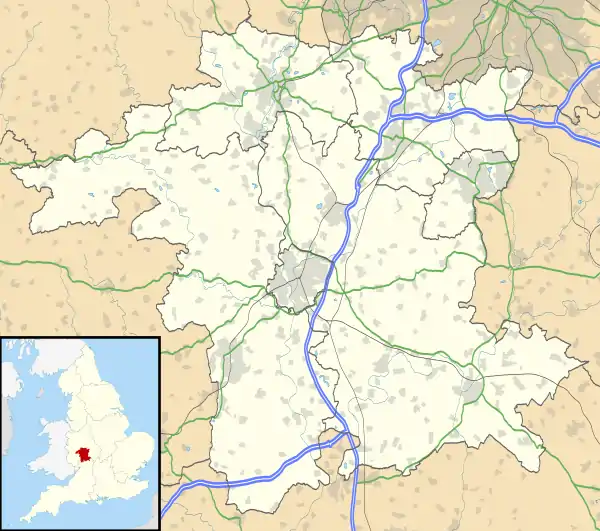 Rock Location within Worcestershire | |
| Population | 2,366 |
| OS grid reference | SO735712 |
| Civil parish |
|
| District | |
| Shire county | |
| Region | |
| Country | England |
| Sovereign state | United Kingdom |
| Post town | KIDDERMINSTER |
| Postcode district | DY14 |
| Police | West Mercia |
| Fire | Hereford and Worcester |
| Ambulance | West Midlands |
In the parish is Fingerpost, the junction of the A456 and A4117 roads. The parish council erected a large commemorative stone near the junction for the Diamond Jubilee of Queen Elizabeth II.[2]
The Church of St Peter and St Paul contains a number of Herefordshire School Romanesque carvings.[3] The local church has a major congregation, and the village hall always has local events taking place from weddings to the Rock Show.
The Bewdley School and Sixth Form Centre provides secondary education for pupils from the area.
History
Rock was in the lower division of Doddingtree Hundred.[4] It is a geographically large civil parish, including various settlements including Far Forest.
A grammar school was established in King Edward VI's reign.
There is a moated site, and earthworks showing remains of a medieval village, near the church.
References
- Census 2001
- Geograph (erroneously described)
- Thurlby, Malcolm (1999) The Herefordshire School of Romanesque Sculpture Logaston Press
- Worcestershire Family History Guidebook, Vanessa Morgan, 2011, p20 The History Press, Stroud, Gloucestershire.
| Wikimedia Commons has media related to Rock, Worcestershire. |