Rozhanovce
Rozhanovce (Slovak pronunciation: [ˈɾɔzɦanɔʊ̯tsɛ]) is a village in Košice-okolie District of eastern Slovakia. It is situated about 20 kilometres (12 mi) far from the city of Košice.
Rozhanovce | |
|---|---|
Village | |
 Coat of arms | |
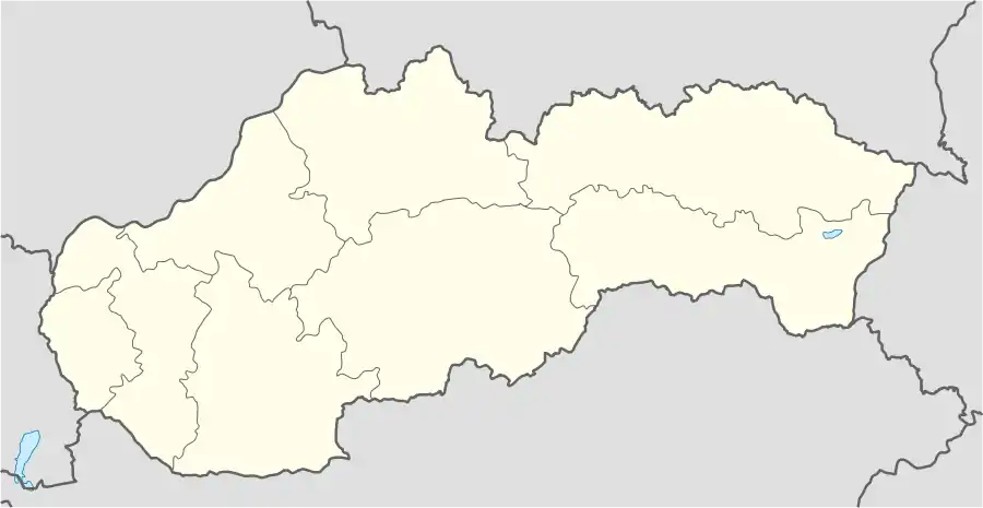 Rozhanovce Location of Rozhanovce in Slovakia | |
| Coordinates: 48°45′N 021°21′E | |
| Country | Slovakia |
| Region | Košice |
| District | Košice-okolie |
| First mentioned | 1270 |
| Government | |
| • Mayor | Viktor Gazdačko |
| Area | |
| • Total | 22.2 km2 (8.6 sq mi) |
| Elevation | 215 m (705 ft) |
| Population (2004) | |
| • Total | 2,160 |
| • Density | 97/km2 (250/sq mi) |
| Postal code | 044 42 |
| Area code(s) | +421-55 |
| Car plate | KS |
| Website | rozhanovce.sk |
Names
1773 Rozgony, Roscho[no]wetz, Rozhonow, 1786 Rozgony, Roszonowecz, 1808 Rozgony, Rozgoňowce, Rozhanowce, 1863–1913 Rozgony, 1920– Rozhanovce.[1]
A smaller part of Rozhanovce is located on flat land and a larger part in a hilly area rising from the west to the east. The center of the village lies at an altitude of 215 metres (705 ft). The area of the municipality is 22.2 square kilometres (8.6 sq mi). The best view of this village is from the west.
In historical records, the village was first mentioned in 1270. Rozhanovce is best known for the Battle of Rozgony (June 15, 1312), in which King Charles I of Hungary decisively defeated the Amadé Aba family (Slovak: Omodejovci), who were supported by the troops of Matthew III Csák (Slovak: Matúš Čák). Both Aba and Csák were de facto rulers in Upper Hungary (today parts of Hungary, Slovakia and Ukraine).
In 2004, Rozhanovce had a population of about 2,160 people. 96.9% of them were Slovaks, 1.6% Romani. 79.4% of inhabitants were Roman Catholics, 7.7% Greek Catholics, and 3.9% atheists.
The festival called "Abov celebrations" takes place every year in Rozhanovce.
External links
![]() Media related to Rozhanovce at Wikimedia Commons
Media related to Rozhanovce at Wikimedia Commons
- Official website of Rozhanovce (in Slovak)
| Authority control |
|---|