Rupanyup
Rupanyup (/rəˈpænjəp/ rə-PAN-yəp) is a small town in rural Victoria, Australia. As of the 2016 census, it had a population of 536.[1] The name Rupanyup is an Aboriginal word meaning 'branch hanging over water'.[2]
| Rupanyup Victoria | |||||||||
|---|---|---|---|---|---|---|---|---|---|
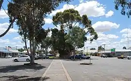 Cromie St, the main street of Rupanyup | |||||||||
 Rupanyup | |||||||||
| Coordinates | 36°37′S 142°37′E | ||||||||
| Population | 536 (2016 census)[1] | ||||||||
| Established | 1873 | ||||||||
| Postcode(s) | 3388 | ||||||||
| Elevation | 67 m (220 ft) | ||||||||
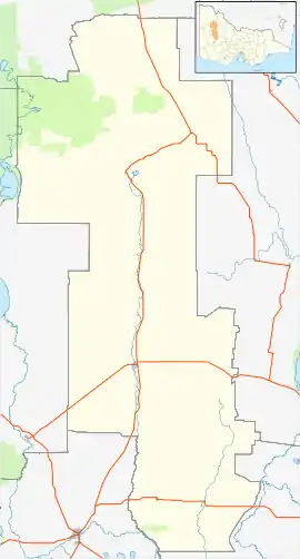
| Location |
| ||||||||
| LGA(s) | Shire of Yarriambiack | ||||||||
| State electorate(s) | Lowan | ||||||||
| Federal Division(s) | Mallee | ||||||||
| |||||||||
The Post Office opened on 22 February 1875 as Karkarooc and was renamed Rupanyup in 1876.[3]
The town used to be in the Shire of Dunmunkle but was allocated to the Shire of Yarriambiack when Victoria's municipalities were re-organized in the 1990s.
The town has an Australian rules football team competing in the Horsham & District Football League.[4]
Golfers play at the course of the Rupanyup Golf Club on Frayne Avenue.[5]
The town has art in the Silo Art Trail which also includes Sheep Hills, Brim, Rosebury, Lascelles and Patchewollock.
References
- Australian Bureau of Statistics (27 June 2017). "Rupanyup (State Suburb)". 2016 Census QuickStats.

- Rupanyup - Yarriambiack Shire Council
- Premier Postal History, Post Office List, retrieved 11 April 2008
- Full Points Footy, Horsham_District, archived from the original on 10 May 2008, retrieved 25 July 2008
- Golf Select, Rupanyup, retrieved 11 May 2009
