Rushon
Rushon (Tajik: Рӯшон, Russian: Рушан Rushan, Persian: روشان, Pamiri: Ręxon) is a village and the seat of Rushon District of Gorno-Badakhshan Autonomous Region in southeastern Tajikistan. The jamoat has a total population of 6,577 (2015).[1]
Rushon
Vamar | |
|---|---|
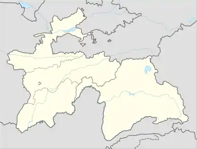 Rushon Location in Tajikistan | |
| Coordinates: 37°56′39″N 71°33′27″E | |
| Country | |
| Region | Gorno-Badakhshan Autonomous Region |
| District | Rushon District |
| Elevation | 2,000 m (7,000 ft) |
| Population (2015[1]) | |
| • Total | 6,577 |
| Climate | BSk |
Geography
Locally known as Vamar (Persian: وامر, Pamiri: Vamár) it is a town located in the Rushon District on the border with Afghanistan 65 kilometres (40 mi) north of Khorugh. It was known as Kala-i Vamar until 1932 and now it]]. It is on the river Panj just downstream from the mouth of the Bartang at the point where the Panj briefly turns west before resuming its northerly course. There is a small museum and the ruins of a Kala-i Vamar (Vamardiž) a mediaeval era fort.
History
It is believed that the fort Vamardiž was built by local people in defence of the Chinese advancement to Pamirs. Many times Vamardiž fell to Shahs of Darwaz and Shughnan remaining under control of Shughnan until Afghans of Badakhshan took it on the last quarter of XIX century. In 1885 Russians liberated Pamiri kingdoms of Panj right bank but soon turned them into Beyli's (Бекство) of Turkish Manghit Bukhara where one of them resided in Vamardiž till the October Revolution. During Soviet Era Vamardiž was destroyed and the territory of fort demolished giving way to military base facilities.
References
- Jamoat-level basic indicators, United Nations Development Programme in Tajikistan, accessed 5 October 2020
| Districts | 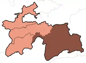 | |
|---|---|---|
| Main cities and towns | ||
| Geography | ||
| Rivers | ||