Ryarsh
Ryarsh is a village and civil parish in the local government district of Tonbridge and Malling in Kent, England. It is home to around 1,000 residents.[2] Ryarsh is west of Maidstone and north of West Malling and Kings Hill.
| Ryarsh | |
|---|---|
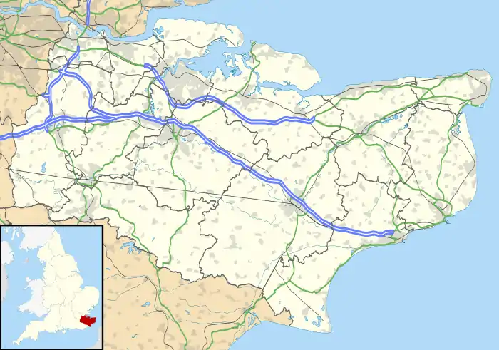 Ryarsh Location within Kent | |
| Population | 696 (2011 Census)[1] |
| District | |
| Shire county | |
| Region | |
| Country | England |
| Sovereign state | United Kingdom |
| Post town | West Malling |
| Postcode district | ME 19 |
| Dialling code | 01732 |
| Police | Kent |
| Fire | Kent |
| Ambulance | South East Coast |
| UK Parliament | |
History
Ryarsh is believed to be a Saxon village dating from around 1050.[3] At the time of the Domesday Book (1086) it was in the possession of Odo of Bayeux, half-brother of William the Conqueror. It then passed, by grant of the Crown, to the Crecy and Mowbray families but was confiscated from John de Mowbray who rebelled against the King in 1322. The manor of Ryarsh was then given to the Neville family, Earls of Abergavenny. [4]
St Martin's church, on the south side of the M20, is a Grade II* listed building, with parts dating from the 12th century. [5] Before the dissolution of the monasteries, it belonged to the Priors of Merton. [4]
Ryarsh Circle
The "Ryarsh Circle" are remains of a hill figure chalk circle. Little is known about it, but is believed to be manmade.
Culture and community
The village public house is the Duke of Wellington. The village also has a community village hall and accompanying village green which hosts the annual fete, primary school and children's play area.
In 2018 the future of Ryarsh and its surrounding communities were placed into doubt with the proposal by Kent County Council under the Mineral and Waste Local Plan to build a 4m tonne soft sand quarry in the green belt and ancient woodland of The Roughetts, off Roughetts Road.
The plan was backed by operators Borough Green Sandpits Ltd, The Birling Estate and The Bridger Estate.
The residents of Ryarsh and surrounding villages rallied to fight the proposed quarry due to the devastation to the historical site, the potential carsonigenic pollution associated with Silica from soft sand extraction and the blight to a community already severed by the M20 and A20.
Much focus of the resistance related to the stark contradiction between the stated environmental credentials and countryside stewardship of The Birling Estate and the devastation the scheme would cause to the delicate ecosystem, damage to aquifer levels and pollution and blight to the local residents.
Transport
Ryarsh is located close to the A20, M20 and M25. The closest railway stations are at West Malling for the Maidstone East Line and Snodland for the Medway Valley Line.
Education
Ryarsh Primary School is located on Birling Road. There is no secondary school in the village, with most pupils transferring to schools in Maidstone, Sevenoaks, Tonbridge or Tunbridge Wells.[6]
References
- "Civil Parish population 2011". Neighbourhood Statistics. Office for National Statistics. Retrieved 23 September 2016.
- "Ryarsh village website". Retrieved 18 March 2011.
- "Ryarsh Community Website". Retrieved 18 March 2011.
- "Parishes: Ryarsh Pages 488-496 The History and Topographical Survey of the County of Kent: Volume 4. Originally published by W Bristow, Canterbury, 1798". British History Online. Retrieved 13 July 2020.
- "Listed Buildings in Ryarsh, Tonbridge and Malling, Kent". British Listed Buildings. Retrieved 13 July 2020.
- "Ryarsh Primary School Prospectus". Archived from the original on 18 October 2010. Retrieved 18 March 2011.
External links
| Wikimedia Commons has media related to Ryarsh. |