Saint Helens, Washington
Saint Helens is an unincorporated community in Cowlitz County, Washington. Saint Helens is located east of the city of Castle Rock and along the North Fork Toutle River. Saint Helens is reached by traveling 24 miles (39 km) east of Castle Rock along Washington State Route 504, which is also known as the Spirit Lake Memorial Highway.[2] The Saint Helens community takes its name from Mount St. Helens, which, in turn, was named by explorer George Vancouver after a friend of his, Baron St. Helens.[3] The Saint Helens community is part of the Toutle Lake School District, a K-12 school district of about 600 students.
Saint Helens, Washington | |
|---|---|
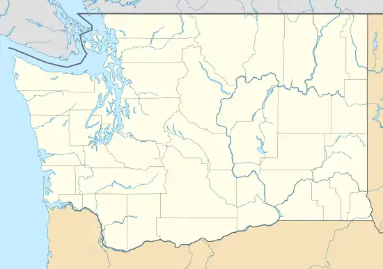 Saint Helens Location in the state of Washington  Saint Helens Saint Helens (the United States) | |
| Coordinates: 46°20′39″N 122°31′43″W | |
| Country | United States |
| State | Washington |
| County | Cowlitz |
| Elevation | 288 m (945 ft) |
| Time zone | UTC−8 (PST) |
| • Summer (DST) | UTC−7 (PDT) |
| ZIP code | 98649 |
| Area code(s) | 360 |
| FIPS code | 53-60840 |
| GNIS feature ID | 1525356 |
Saint Helens is located 19.15 miles (30.82 km) northwest of Mount St. Helens. The eruption of Mount St. Helens on May 18, 1980, was the deadliest and most economically destructive volcanic event in the history of the United States.
Geography
Saint Helens is located at 46°20′39″N 122°31′43″W (46.3442747, -122.5287198).[4]
External links
References
- "USGS—Saint Helens, Washington". Retrieved 14 June 2014.
- Washington State Legislature. "RCW 47.17.655: State Route 504". Retrieved 14 June 2014.
- "A voyage of discovery to the North Pacific ocean". archive.org. 1798. Retrieved 14 June 2014.
- "2013 U.S. Gazetteer Files". census.gov. Retrieved 14 June 2014.
Municipalities and communities of Cowlitz County, Washington, United States | ||
|---|---|---|
| Cities | 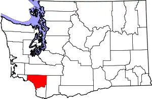 Map of Washington highlighting Cowlitz County | |
| CDPs | ||
| Unincorporated communities |
| |
| Footnotes | ‡This populated place also has portions in an adjacent county or counties | |
| ||
