Salem, Arran–Elderslie, Ontario
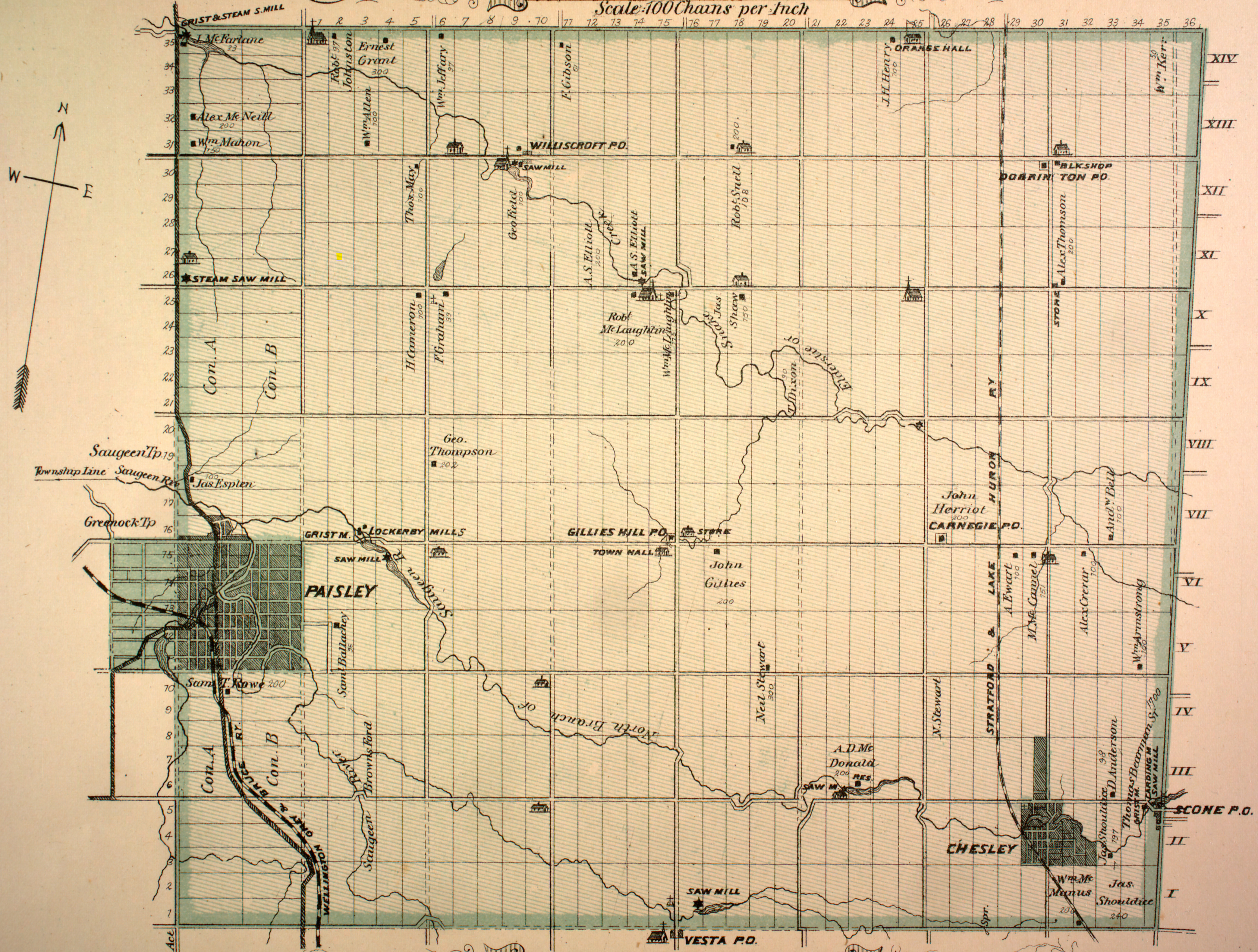
Salem is a dispersed rural community and unincorporated place in the municipality of Arran–Elderslie, Bruce County in southwestern Ontario, Canada.[1][3][4] The community is in geographic Elderslie Township[5] at the intersection of Concession 10 Elderslie and Sideroad 15 South Elderslie, 10 kilometres (6.2 mi) northwest of the community of Chesley and 9 kilometres (5.6 mi) northeast of the community of Paisley. The community is on Snake Creek, a tributary of the Saugeen River.
Salem | |
|---|---|
Dispersed Rural Community | |
 Salem Location in southern Ontario | |
| Coordinates: 44°21′49″N 81°11′22″W[1] | |
| Country | Canada |
| Province | Ontario |
| County | Bruce |
| Municipality | Arran–Elderslie |
| Elevation | 253 m (830 ft) |
| Time zone | UTC-5 (Eastern Time Zone) |
| • Summer (DST) | UTC-4 (Eastern Time Zone) |
| Postal Code | N0H 1L0 |
| Area code(s) | 519, 226, 548 |
References
- "Salem". Geographical Names Data Base. Natural Resources Canada. Retrieved 2017-03-17.
- Elevation taken at geographic coordinates from Google Maps. Accessed 2017-03-17.
- Map 4 (PDF) (Map). 1 : 700,000. Official road map of Ontario. Ministry of Transportation of Ontario. 2016-01-01. Retrieved 2017-03-17.
- Restructured municipalities - Ontario map #6 (Map). Restructuring Maps of Ontario. Ontario Ministry of Municipal Affairs and Housing. 2006. Retrieved 2017-03-17.
- "Township of Elderslie" (JPG). Canadian County Atlas Project. McGill University. 2001. Retrieved 2017-03-17.
This article is issued from Wikipedia. The text is licensed under Creative Commons - Attribution - Sharealike. Additional terms may apply for the media files.